What is recorded here
Rathgoggan Castle, last drawn on Jobson's map around 1589, now lies buried beneath an ordinary bungalow on the south bank of the Glen River. It passed from Cogans to Hugh Cuffe, then to Richard Boyle, 1st Earl of Cork, a chain of ownership that erased the stone but never the shape of the room it once held. The river still marks the boundary; the house above forgets it.
Exact location of Rathgoggan Castle, which is depicted on Jobson's map (c. 1589) and Down Survey (1655-6) (1655-6) barony map is uncertain. Healy (1988, 361) sites it on S side of Charleville town, overlooking Glen River, on site now occupied by modern bungalow. Originally possession of Cogans; included in grant to Hugh Cuffe 1587, when it was said to be property of David McGibbon (Grove White 1905-25, vol. 2, 174). Subsequently acquired by Richard Boyle, 1st Earl of Cork (ibid., 175).
The above description is derived from the published 'Archaeological Inventory of County Cork. Volume 4: North Cork' (Dublin: Stationery Office, 2000). In certain instances the entries have been revised and updated in the light of recent research.
Date of upload/revision: 14 January 2009
The monument record does not grant public access. Check the route and ask the landowner before entering private land.
- What survives
- Recorded monument
Places near here
 Holy Cross CemeteryGraveyard · 198 yd
 Church (in Ruins)Church · 209 yd
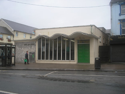 Charleville Post Officepost office · 369 yd
 MoatEnclosure · 1103 yd
 Pit-burial in Rathgoggan SouthPit-burial · 1181 yd
 Castle Harrison on Site of Castle (19*Castle, unclassified · 1.9 mi
 Bawn in CregganeBawn · 2.2 mi
 ToberSpring · 2.6 mi
 Lady's WellSpring · 2.7 mi
 BallinaboolaVisitor information · 3.7 mi
 CarrigeenMountain / peak · 4.3 mi
 Caher HillMountain / peak · 4.5 mi