What is recorded here
Gerrot Miagh’s Castle vanished from Kilmallock’s High Street before Col. Randall Clayton owned its ruined backhouse and yard. The west-side building defied identification even when surveyed, leaving a hole in the town where memory should have held. It is the kind of place that swallows its own history, forcing every visitor to invent the rooms it refuses to show.
The precise location of Gerrot Miagh’s Castle on High St. has not been identified. Described in the Urban Survey (Bradley et. al. 1989, 153) as following; 'Gerrot Miagh’s Castle. High St.
This was also on the west side of the street and was later owned by Col. Randall Clayton when it was described as fronting the street with a ruined backhouse and a yard'.
Compiled by: Caimin O'Brien
Date of upload: 01 October 2019
The monument record does not grant public access. Check the route and ask the landowner before entering private land.
- What survives
- Recorded monument
Places near here
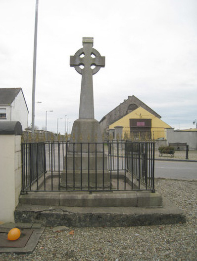 1798 Monumentmonument · 17 yd
 King John's CastleCastle · 38 yd
 Kings CastleCastle, tower house · 39 yd
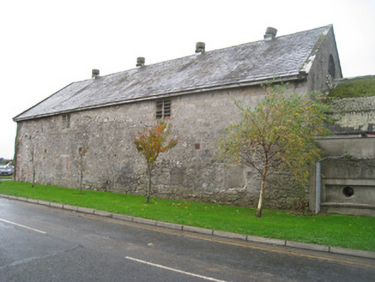 creamerycreamery · 59 yd
 Round TowerRound tower · 108 yd
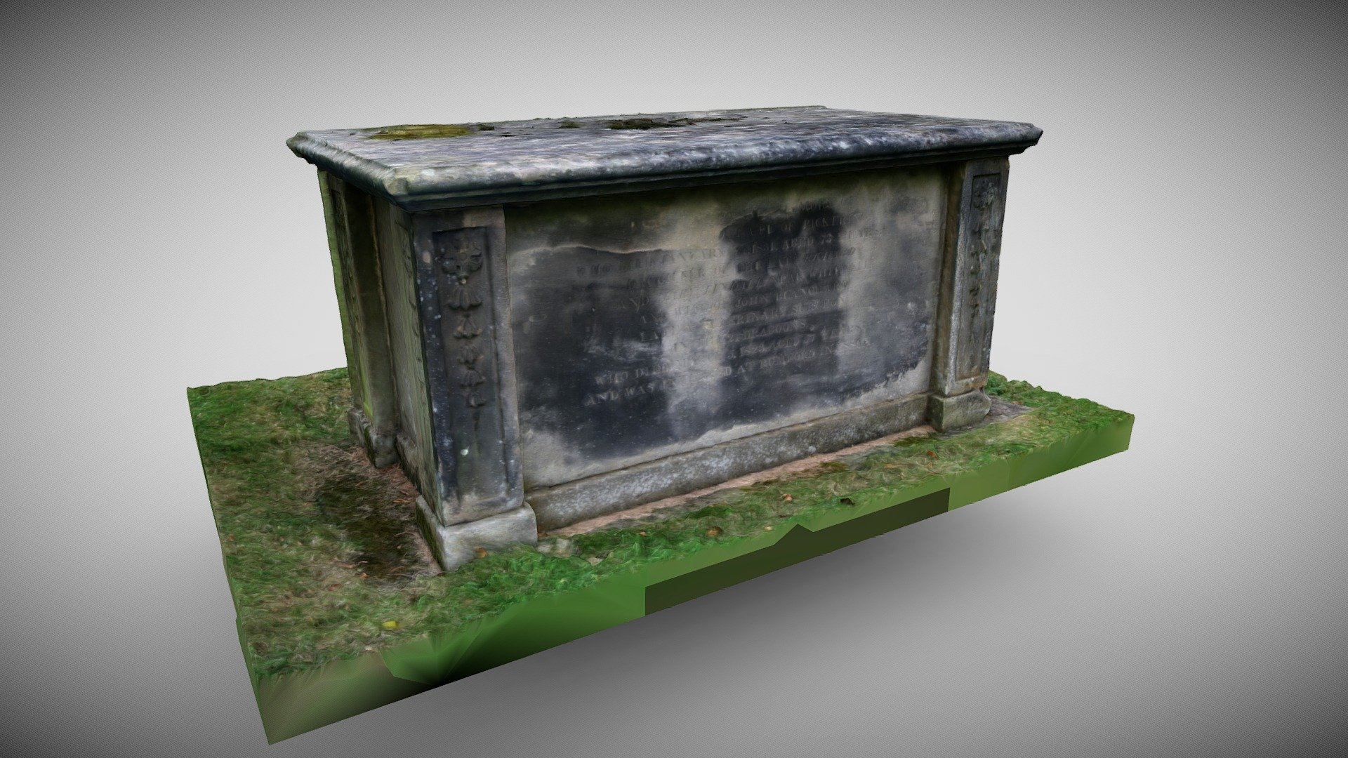 TombTomb, chest tomb · 120 yd
 Kilmallock AbbeyHeritage attraction · 191 yd
 Site of Castle CooteBawn · 652 yd
 St Bridget's WellSpring · 1.8 mi
 Lady's WellSpring · 3.2 mi
 Ballyhoura tourist informationVisitor information · 5.3 mi
 Holy Cross CemeteryGraveyard · 5.5 mi