What is recorded here
Gorey appeared on the 1656-8 Down Survey map as a rectangular walled feature with towers, marking a fort and castles somewhere in Kilmakillogue parish. The drawing captures a defended place where stone and boundary still shaped daily life. Whatever rooms or yards hid behind those walls, they stood firm enough for a surveyor to measure and name.
The Down Survey map of Kilmakillogue parish (1656-8) shows Gorey as a rectangular walled feature with 'Gorey Fort' and some towers representing castles somewhere in the vicinity.
See the attached section from the Down Survey barony map (N at top right) reproduced courtesy of the National Library of Ireland (Ms 725)
Compiled by: Michael Moore
Date of upload; 15 March, 2012
Amneded: 14 May, 2014
The monument record does not grant public access. Check the route and ask the landowner before entering private land.
- What survives
- Recorded monument
Places near here
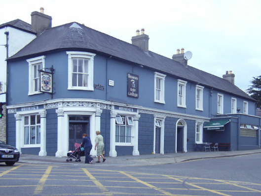 Browne'shouse · 22 yd
 cobbles/flags/paving/kerbingcobbles/flags/paving/kerbing · 25 yd
 Market HouseHeritage attraction · 143 yd
 1798 MonumentMemorial · 533 yd
 Fulacht fia in Ramstown LowerFulacht fia · 570 yd
 Boiling WellHoly well · 732 yd
 Gorey HillMountain / peak · 1442 yd
 Carriganeagh RockMountain / peak · 1.8 mi
 Kia Ora Mini FarmHeritage attraction · 1.9 mi
 Ballingarry WoodForest · 2.5 mi
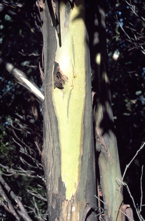 Johnston's gumJohnston's gum · 3.2 mi
 Saint Brigid's WellSpring · 6.3 mi