What is recorded here
Cuskinny is a castle that vanished, its tower and small east house drawn on a 1655-6 map but no longer visible beside the present two-storey house. It may have been swallowed by fields, rebuilt into another wall, or simply forgotten after the surveyors left. The absence makes the place harder to dismiss, because a castle large enough to mark must have stood where people now walk past nothing at all.
A castle/tower, with a small one-storey house attached to its E side, is depicted on the Down Survey (1655-6) parish map in the approximate vicinity of the present Cuskinny House (Healy 1988, 129-30). There are no evident remains in this location of such a castle; Cuskinny House is 'a two storey house of C19th appearance' (Bence Jones 1978, 98).
The above description is derived from 'The Archaeological Inventory of County Cork. Volume 5' (Dublin: Stationery Office, 2009).
Date of upload: 22 December 2009
The monument record does not grant public access. Check the route and ask the landowner before entering private land.
- What survives
- Recorded monument
Places near here
 Carrigrhuhouse · 130 yd
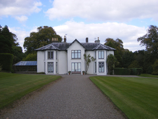 Cuskinnycountry house · 301 yd
 Cuskinny Marsh Bird SanctuaryNature reserve · 312 yd
 Fulacht fia in CarrignafoyFulacht fia · 930 yd
 Great IslandIsland · 1017 yd
 Titanic Memorial GardenHeritage attraction · 1049 yd
 Church (Site of)Church · 1468 yd
 The BenchViewpoint · 1495 yd
 Cork Harbour TragedyMemorial · 1.1 mi
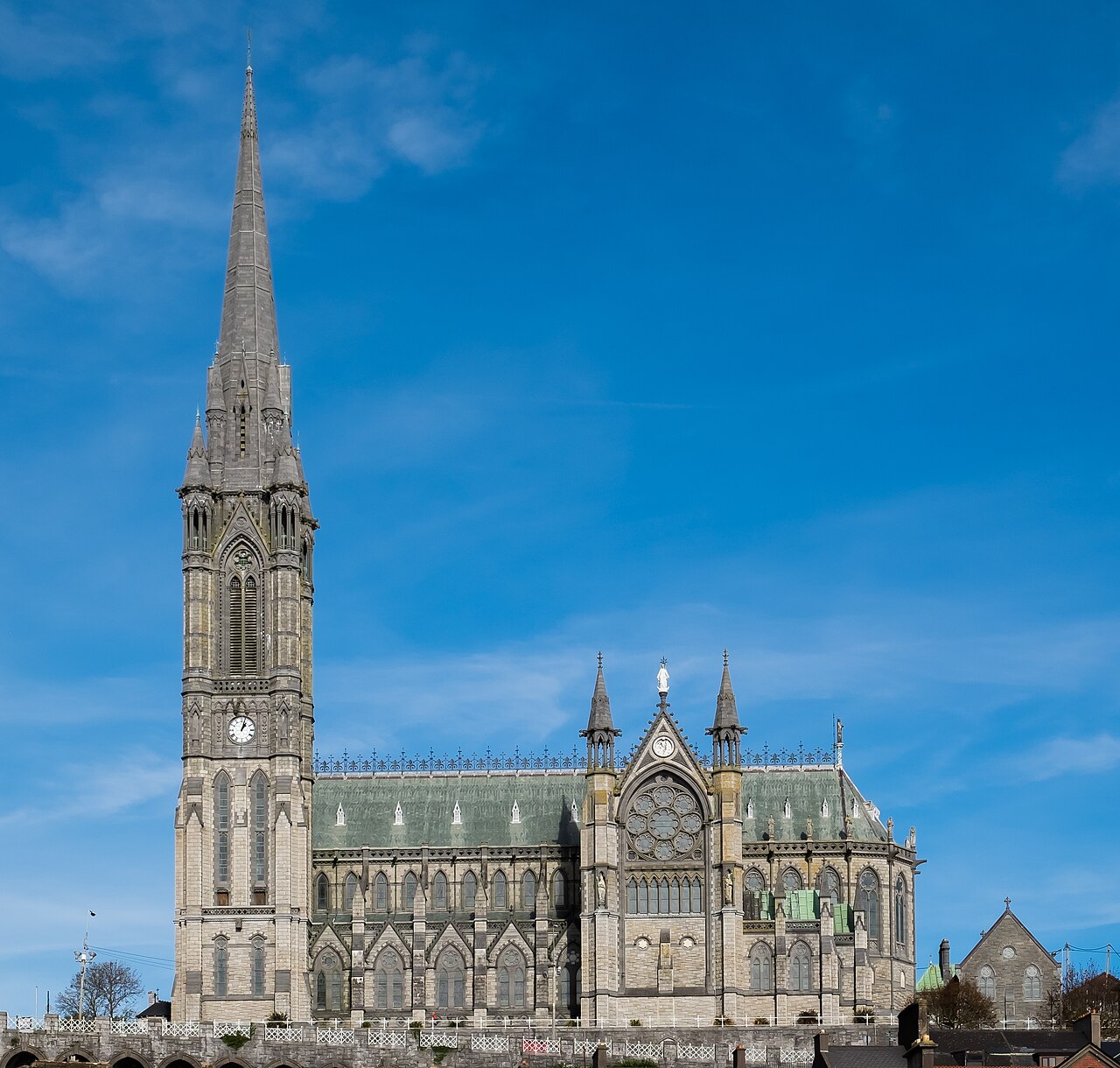 Saint Colman's Cathedral, CobhCathedral · 1.2 mi
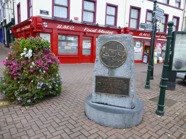 Titanic MemorialMemorial · 1.2 mi
 Cobh Tourist OfficeVisitor information · 1.3 mi