What is recorded here
Castle, unclassified, Baltray, County Louth: a castle is shown at Baltray on Sir W. Petty's map, but no structure is marked at Balltray in Termonfechan parish on the Down Survey barony map, which is exactly the kind of gap that makes a place memorable. Perhaps the castle was never built, or it was lost before the second survey was drawn. Either way, Baltray keeps two different memories at once: one where the castle stands and one where it does not.
A castle is shown at Baltray on Sir W. Petty's map (Stubbs 1908, 36), but no structure is marked at Balltray (3) in Termonfechan parish on the Down Survey barony map, for which see this web-page accessed on 9 May, 2016 http://downsurvey.tcd.ie/down-survey-maps.php#bm=Ferrard&c=Louth
Date of revision: 9 May 2016
The monument record does not grant public access. Check the route and ask the landowner before entering private land.
- What survives
- Recorded monument
Places near here
 Standing StonesStanding stone, pair · 424 yd
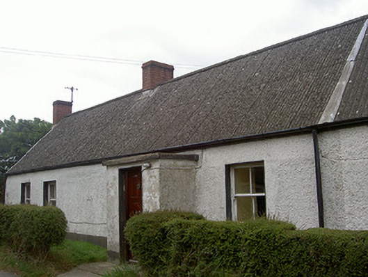 Lane Househouse · 448 yd
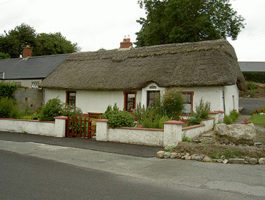 Tuí Naomh Áinehouse · 698 yd
 Man-made underground passage in BaltrayMan-made underground passage · 807 yd
 Termonfeckin CastleCastle · 1.5 mi
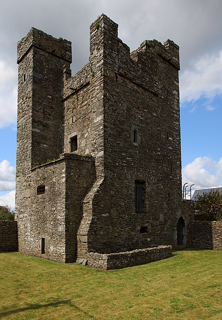 CastleCastle, tower house · 1.5 mi
 Beaulieu House and GardensHeritage attraction · 1.5 mi
 Battle of Julianstownbattle · 4.8 mi
 Newgrange Business ParkMemorial · 5.3 mi
 Yellow IslandIslet · 5.9 mi
 Grove IslandIslet · 6.2 mi
 MonasterboiceEarly monastic site · 6.9 mi