What is recorded here
Donat O'Brien held Ballyshane Castle in 1625, but Margaret Bryen owned only a stump by 1657. The precise spot remains hidden inside Ballyshane, reducing a proud tower to a ghost that refuses even to mark its own grave.
The precise location of a castle in the townland of Ballyshane has not been identified. Westropp (1906-7, 151-2) recorded the following details about Ballyshane Castle; '1625 Donat O'Brien, of Baliymoroghoe (Ballymurphy), held Ballyshane C[astle]. (Inq. Chan., 94). 1657. Ballishane, in Kilpichane, stump of C[astle]. held by M. Bryne (D.S.B., 21-23).
The 1654-56 Civil Survey of Limerick recorded that the widow Margaret Bryen alias Stephenson, an Irish Papist, was the owner of Ballyshane which contained 'a stumpe of a Castle' (Simington 1938, 378). Tower-house like castle depicted on the 17th century Down Survey map of Pubblebrien Barony (Hib. Reg.)
Compiled by: Caimin O'Brien
Date of upload: 4 December 2020
Donat O'Brien held Ballyshane Castle in 1625. It is remembered as part of the early 17th-century O'Brien estates in the region, reflecting the family's local influence during the Plantation period.
The monument record does not grant public access. Check the route and ask the landowner before entering private land.
- What survives
- Recorded monument
Places near here
 Hachured - Externally indicatedFairy fort / earthen ringfort · 379 yd
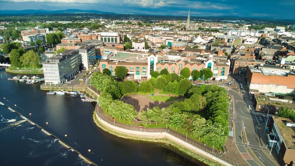 Field system in GarryellenField system · 714 yd
 Dotted outlineBawn · 762 yd
 (Site of) Garryellen CastleCastle, unclassified · 766 yd
 RoadRoad, road/trackway · 914 yd
 Villiers WellSpring · 1391 yd
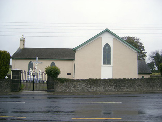 Catholic Church of Saint John the Baptistchurch/chapel · 1.2 mi
 Carnane RockNamed rock · 1.4 mi
 European ashEuropean ash · 2.4 mi
 ToberauillinSpring · 2.4 mi
 Monasteranenagh AbbeyHeritage attraction · 3.4 mi
 Grange Stone CircleArchaeological place · 4.6 mi