What is recorded here
O'NEILL CASTLE stood in Omagh during the LATE-MED period, marking the area as a place of local power and memory. Its stones may have watched markets, feasts, fights and quiet prayers, while people came and went under changing skies. What is certain is that the land still carries the shape of that castle and the lives it touched.
The official Northern Ireland record identifies this as CASTLE: O'NEILL CASTLE. Recorded period: LATE-MED. The official map point was placed at the centre of the recorded archaeological site from the source map reference.
O'Neill Castle in Omagh was built by the O'Neill dynasty, the prominent Gaelic Irish clan of the Clandeboy branch, during the late medieval period. It is remembered as a symbol of the O'Neills' regional power and their resistance to English authority in Ulster.
The monument record does not grant public access. Check the route and ask the landowner before entering private land.
- What survives
- Recorded monument
Places near here
 Omagh bombingtruck bombing · 60 yd
 Omagh Bombing Memorial PillarMemorial · 65 yd
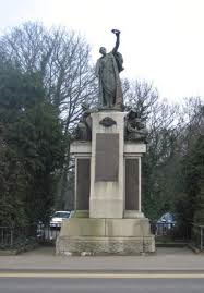 Boar WarMemorial · 186 yd
_-_geograph.org.uk_-_3742091.jpg?width=1280) First Presbyterian ChurchChurch · 223 yd
First Presbyterian ChurchChurch · 223 yd Bank of IrelandBank · 234 yd
 ENCLOSURE in Coolnagard UpperENCLOSURE · 1394 yd
 PLATFORM RATH in CrannyPLATFORM RATH · 1.2 mi
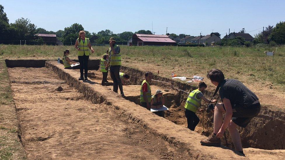 Old MountjoyCastle · 2.6 mi
 PLANTATION CASTLE (site of): CASTLE HILL (unlocated) in BallynahattyPLANTATION CASTLE (site of): CASTLE HILL (unlocated) · 3.4 mi
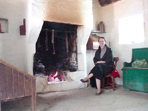 Ulster American Folk ParkMuseum · 4.4 mi
 PollnalaghtMountain / peak · 5.3 mi
 SeskinoreForest · 5.3 mi