
What is recorded here
Castle, motte in Clonenagh stands as a circular earth platform twenty-three metres wide and two and a half metres high, tucked immediately south of the church and graveyard. A surrounding fosse once cut the grass, marking the boundary between the castle and the ordinary field. No wall, tower or gate remains visible, yet the shape still holds its ground beside the buried dead. The motte may have watched the church being built, waited through forgotten wars, or simply resisted the plough because someone kept it sacred.
Located i9n field immediately S of Clonenagh church (LA017-003001-) and graveyard (LA017-003002-). A circular platform (diam c. 23m, H c. 2.5m) with evidence of a surrounding fosse. No other visible surface remains.
The above description is derived from the published 'Archaeological Inventory of County Laois' (Dublin Stationery Office, 1995) compiled by P. David Sweetman, Olive Alcock and Bernie Moran. In certain instances the entries have been revised and updated in the light of recent research.
Date of upload: 17 December 2007
The monument record does not grant public access. Check the route and ask the landowner before entering private land.
- What survives
- Recorded monument
Places near here
 Church (in Ruins)Church · 71 yd
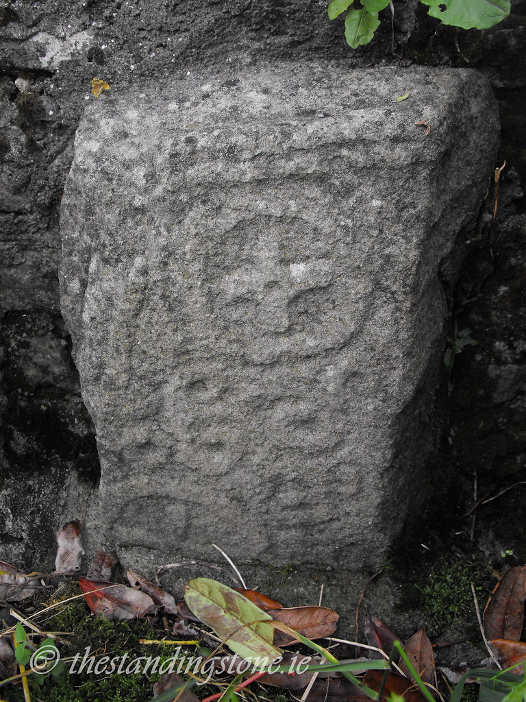 Church in ClonenaghChurch · 188 yd
 SycamoreSycamore · 273 yd
 Ritual siteRitual site, holy tree/bush · 282 yd
 Church (Site of)Church · 762 yd
 Castle in ruins, Red Castle FortCastle, unclassified · 1684 yd
 Site of CastleCastle, unclassified · 3.6 mi
 Sweet ChestnutSweet Chestnut · 4.0 mi
 BaunreaghcongMountain / peak · 6.3 mi
 Slieve Bloom MountainsMountain range · 8.6 mi
 ArderinMountain / peak · 9.8 mi
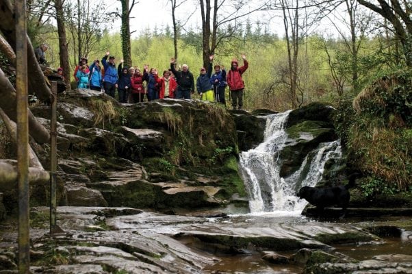 Slieve Bloom WayWalking route · 11 mi
Other information
Photo: Credit not shown in the picture search · Rights wording not checked; contact us if this picture should be removed