What is recorded here
Craig still wears the castle name though no wall stands clear to touch. The stones may have rotted into soil or men may have dragged them elsewhere for other buildings. What remains is a point on the land where power once gathered before forgetting it.
The official Northern Ireland record identifies this as CASTLE. Recorded period: UNCERTAIN. The official map point was placed at the centre of the recorded archaeological site from the source map reference.
The monument record does not grant public access. Check the route and ask the landowner before entering private land.
- What survives
- Recorded monument
Places near here
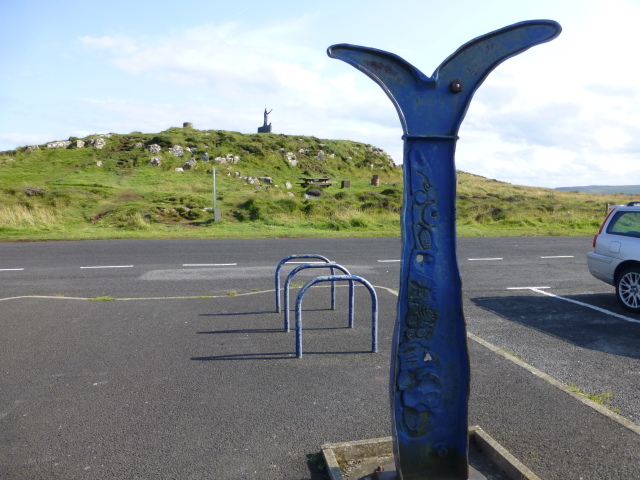 Millennium MilepostVisitor information · 428 yd
 Gortmore View PointViewpoint · 470 yd
 STONE ENCLOSURE/ SHEEPFOLD or STELL in AvishSTONE ENCLOSURE/ SHEEPFOLD or STELL · 1007 yd
 ENCLOSURE: DUNPATRICK in DuncrunENCLOSURE: DUNPATRICK · 2.0 mi
 Presbyterian ChurchChurch · 2.3 mi
 Magilligan - Benone StrandBeach / strand · 2.3 mi
 Downhill beachHeritage attraction · 2.4 mi
 BinevenaghMountain / peak · 2.6 mi
 Aidan's WellSpring · 2.7 mi
 Ballyhanna ForestForest · 2.8 mi
 Devil's ThumbNamed rock · 2.9 mi
 St. Mary's RC ChurchChurch · 2.9 mi