What is recorded here
The official Northern Ireland record identifies this as CASHEL. Recorded period: E.CHRIST.. The official map point was placed at the centre of the recorded archaeological site from the source map reference.
The monument record does not grant public access. Check the route and ask the landowner before entering private land.
- What survives
- Recorded monument
Places near here
 Gortmaconnell RockMountain / peak · 713 yd
 Killesher WoodWood · 867 yd
 Quarry WoodWood · 1160 yd
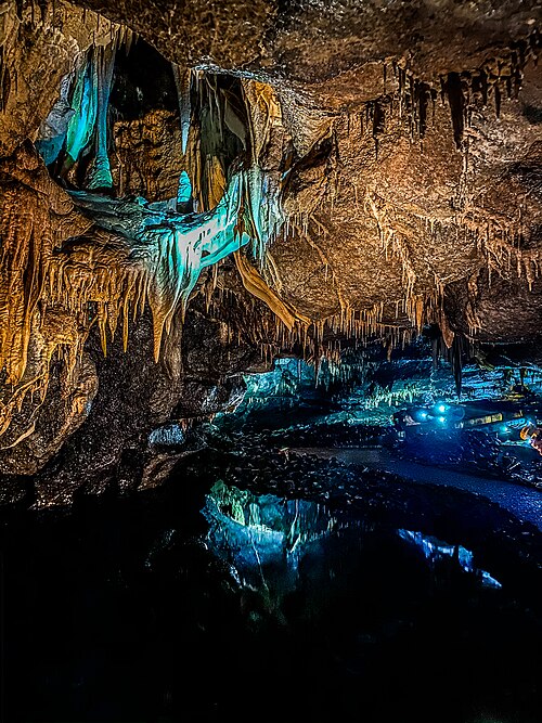 Marble Arch CavesHeritage attraction · 1376 yd
 Glass RockMountain / peak · 1382 yd
 Cascades RisingCave · 1413 yd
 Giant's GraveArchaeological place · 1422 yd
 Cascades WaterfallWaterfall · 1436 yd
 Marble ArchNatural arch · 1531 yd
 Cuilcagh Mountain ViewpointVisitor information · 1535 yd
 HOLY WELL: LITTLE WELL in MullynahunshinHOLY WELL: LITTLE WELL · 1610 yd
 Lower Cradle HoleCave · 1622 yd