
What is recorded here
Water climbs through hidden rock in County Fermanagh, then appears above ground as a rising cascade. The cave keeps its own calendar, filling and emptying without asking permission. People may have listened for that breath before they learned its name.
Cascades Rising is recorded as a cave in County Fermanagh. Its open map record supplies this location and any linked names or public references.
Places near here
 Cascades WaterfallWaterfall · 24 yd
 St Lasser's CellArchaeological place · 451 yd
 CoaghanMountain / peak · 474 yd
 Marble ArchNatural arch · 576 yd
 Killesher WoodWood · 596 yd
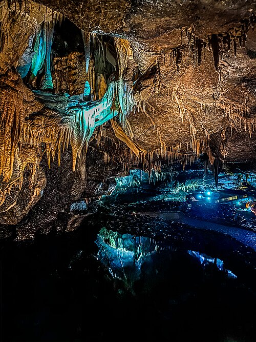 Marble Arch CavesHeritage attraction · 637 yd
 Cuilcagh Mountain ViewpointVisitor information · 870 yd
 Lower Cradle HoleCave · 992 yd
 LiDAR Site: Possible enclosure (and trackway?) in CavanreaghLiDAR Site: Possible enclosure (and trackway?) · 1063 yd
 John ThomasCave · 1092 yd
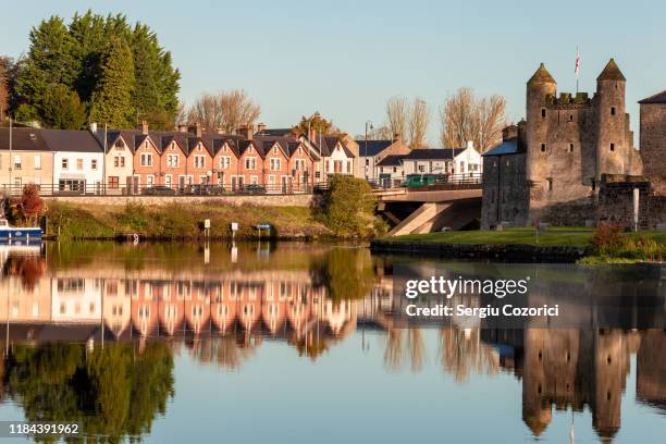 MonastirCliff · 1674 yd
 Gortmaconnell RockMountain / peak · 1.0 mi
Other information
Photo: Credit not shown in the picture search · Rights wording not checked; contact us if this picture should be removed