What is recorded here
In pastureland, adjacent to a road. A modern unroofed wedge-shaped concrete wall (NW-SE; L 5m, Wth 2.4m), opening out to E, encloses this well. The original circular drystone surround (D 2.5m) is visible beneath this wall at NW. Access is gained via a series of steps.
The above description is derived from the published 'Archaeological Inventory of County Galway Vol. II - North Galway'. Compiled by Olive Alcock, Kathy de hÓra and Paul Gosling (Dublin: Stationery Office, 1999).
Date of upload: 05 August 2010
The monument record does not grant public access. Check the route and ask the landowner before entering private land.
- What survives
- Recorded monument
Places near here
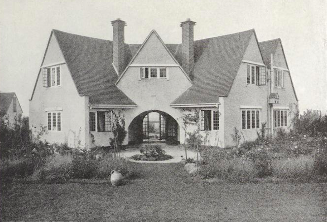 St. Bridgids WellHoly well · 901 yd
 Kiltullagh Church (in ruins)Church · 942 yd
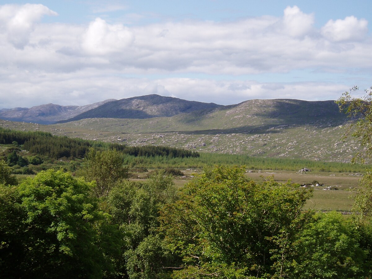 LissardFairy fort / earthen ringfort · 1162 yd
 Bawn in Kiltullagh (tiaquin By.)Bawn · 1334 yd
 St. Francis MonasteryReligious house, unclassified · 1693 yd
 Park CastleCastle · 2.0 mi
 Ballinlass Eviction MemorialMemorial · 6.7 mi
 Mount MaryMountain / peak · 7.1 mi
 Wych ElmWych Elm · 7.1 mi
 Site of Killomaine Grave YardArchaeological place · 7.2 mi
 Cloonavihony WoodForest · 7.3 mi
 Sally IslandIslet · 9.8 mi