What is recorded here
Carrowmullin Megalithic Tomb hides four slabs beneath a long grass mound near Fahan, yet no official map has ever marked the site. Local tradition links the stones to St Mura and an annual penitential walk, suggesting people kept returning to bury, pray or remember long after the gallery fell into earth. The missing map line does not diminish the place; it shows how often the lived memory of a region outlasts the patience of surveyors.
This monument is not shown on any edition of the as 6-inch maps. It stands on sloping pasture near the village of Fahan and c. 50m from the E shore of Lough Swilly. The sharply rising ground to the E of Fahan restricts the outlook in that direction.
The megalithic remains at the site consist of four slabs: three in a line at the N, orientated NE-SW, and one at the S. These stones rise above the surface of a long grass-grown mound 12.3m long, 6.8m in maximum width and 1m high. Excavation would be required to determine how the orthostats relate to original ground level.
The eastern of the three stones at the N side of the structure is 0.25m high, and the stone next to it is 0.5m high. The third stone here is 2.1m to the W of the last and is 0.7m high. The lone orthostat at the S is 0.5m high. There is a tree, shown on plan, 0.2m from its outer face. A smaller tree, close to the SW edge of the mound, is not shown.
The nature of the remains is somewhat uncertain, but they may be those of a megalithic gallery at least 4m long and c. 1.3m wide, the northern side of which increased in height toward the W. It seems that the site was traditionally associated with St Mura, at least in the 19th century, when it appears to have served as a penitential station where an annual turas, or pattern, took place (Doherty 1891, 41-2). The rather neat outline of the mound might owe something to activity related to this aspect of the site.
Doherty 1891, 41-2; SMR 1987, 38:11; Ó Nualláin 1989, 142; RMP 1995, 38:11.
The above description was published in the 'Survey of the Megalithic Tombs of Ireland. Volume VI, County Donegal.' Compiled by: Eamon Cody (Dublin: Stationery Office, 2002).
Date of upload: 22 September 2008
See linked document with details from Eamon Cody, Survey of the Megalithic Tombs of Ireland. Volume VI. County Donegal. (Dublin: Stationery Office, 2002)
See linked document with details from Eamon Cody, Survey of the Megalithic Tombs of Ireland. Volume VI. County Donegal. (Dublin: Stationery Office, 2002)
Portal dolmen; likely dates to the Neolithic period (c. 4000–2500 BCE). Its location near Lough Swilly suggests it may be part of a broader network of megalithic sites in the northwest of Ireland.
The monument record does not grant public access. Check the route and ask the landowner before entering private land.
- What survives
- Recorded monument
Places near here
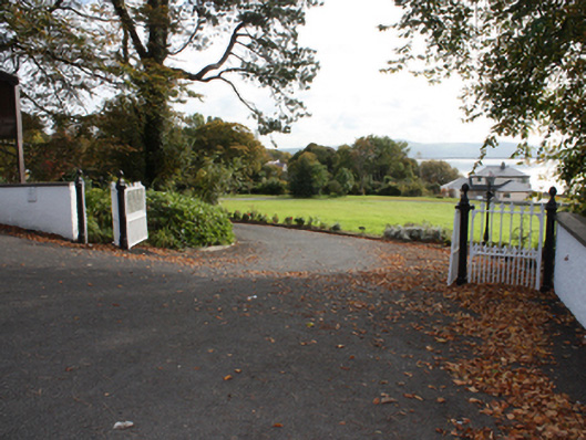 St. John'sgates/railings/walls · 70 yd
 Fahan Holy WellHoly well · 73 yd
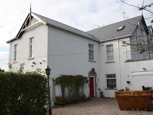 Torrington Househouse · 128 yd
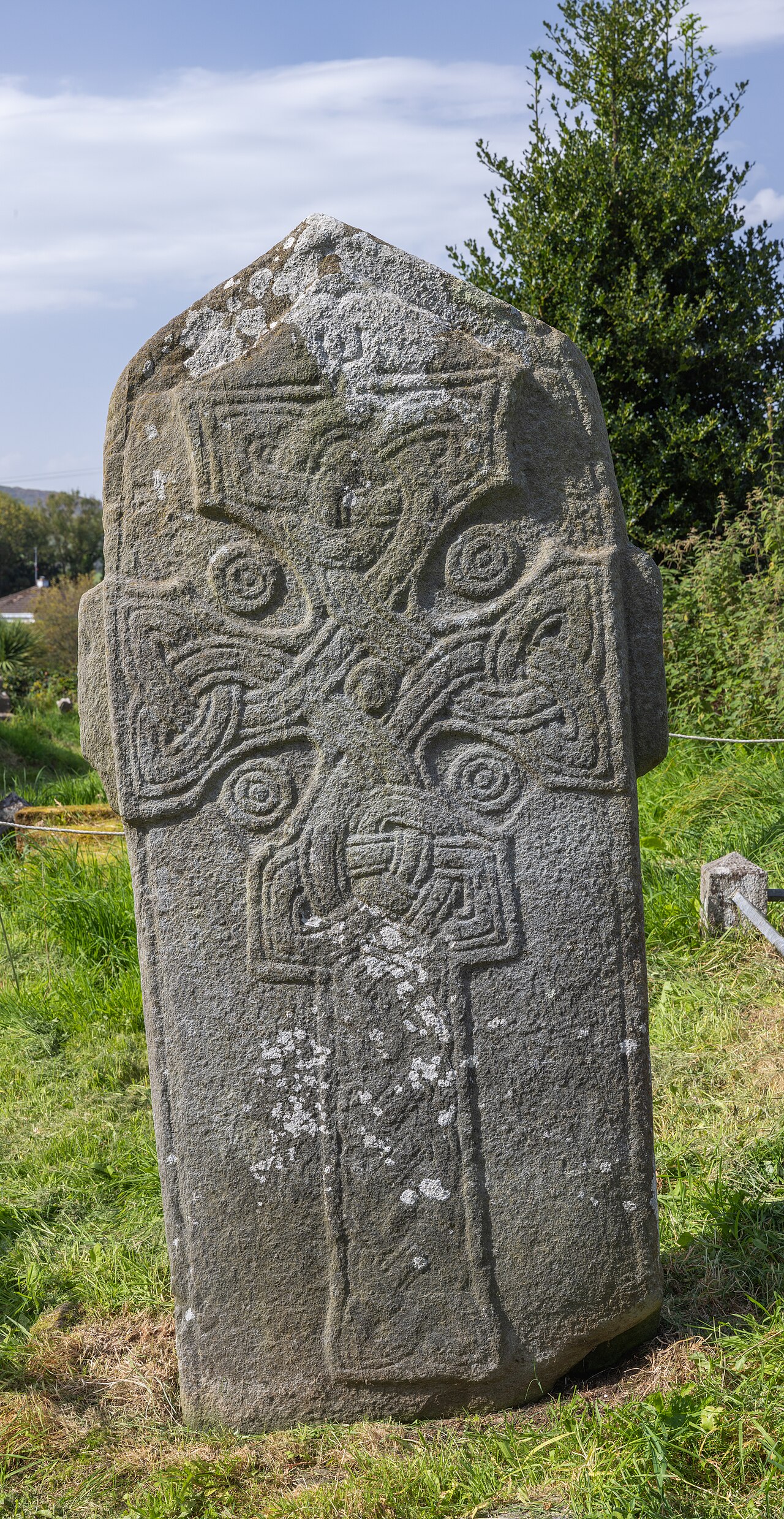 Cross in Glebe (fahan Ed)Cross · 506 yd
 Mass RockNamed rock · 1580 yd
 Brown’s PointHeadland · 1595 yd
 LisfannonOfficial bathing water · 1.0 mi
 Bawn in An Machaire Beag (tc Fathain)Bawn · 1.0 mi
 Lackan ForestForest · 1.1 mi
 InchIsland · 1.7 mi
 Inch FortCastle · 1.9 mi
 King's GraveArchaeological place · 2.1 mi