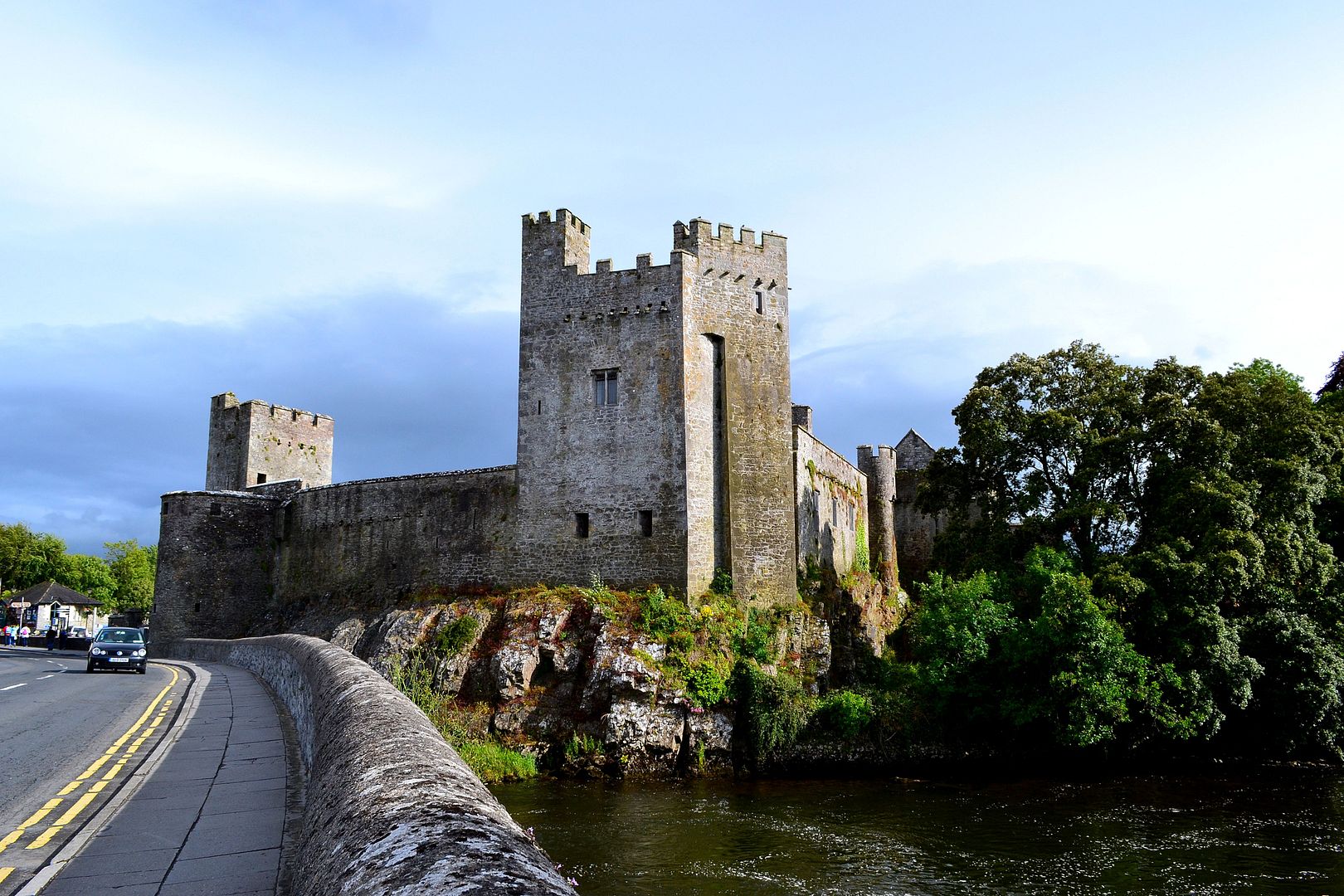
What is recorded here
Carrigeen Fort is a lost ringfort on the south-eastern shore of Lough Boderg, where the Shannon widens into quiet water. Maps drawn in 1835 and 1907 recorded a circular or D-shaped earthwork, but agricultural reworking and scrub growth have erased every visible trace. The name still points to a little rock and a deliberate enclosure, yet the land itself has taken back the shape that people once made.
Carrigeen Fort is recorded as a archaeological place in County Leitrim. Its open map record supplies this location and any linked names or public references.
Places near here
 Holy well in FearnaghtHoly well · 1717 yd
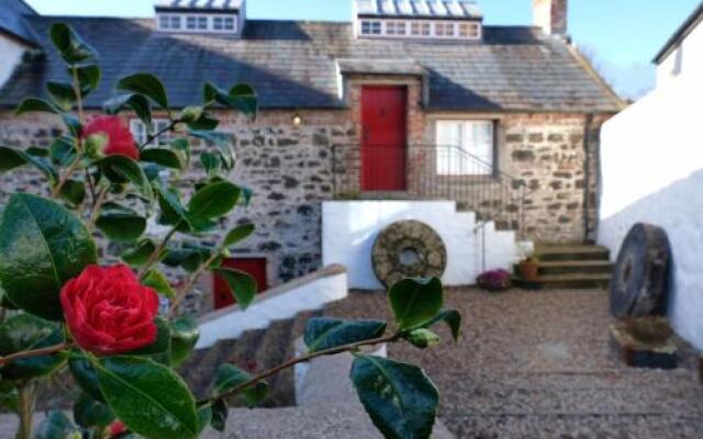 Old Corn KilnKiln, corn-drying · 1.1 mi
 InishmoylinIslet · 1.2 mi
 Coarse IslandForest · 1.2 mi
 Enclosure in Moher (mohill By., Drumod Ed)Enclosure · 1.3 mi
 Dockery's IslandIslet · 1.4 mi
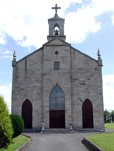 Catholic Church of the Immaculate Conceptionchurch/chapel · 1.7 mi
 Cavan & Leitrim RailwayMuseum · 2.3 mi
 Site of Dangan CastleCastle, unclassified · 3.0 mi
 Tom Dunphy MemorialMemorial · 3.1 mi
 Wildlife AreaNature reserve · 3.5 mi
 Patrick Gill Memorial Plaque (IRA)Monument · 3.8 mi
Other information
Photo: Credit not shown in the picture search · Rights wording not checked; contact us if this picture should be removed