What is recorded here
A hexagonal cist 1.1m × 0.8m in width and 0.35m in depth was excavated here in 1976. It contained the skeleton of a middle-aged male and a flint, plano-convex knife. It was dated to the earlier bronze age (M. Ryan 1977). It was situated in good farmland (see 370).
The above description was derived from the 'Archaeological Survey of County Donegal. A description of the field antiquities of the County from the Mesolithic Period to the 17th century.' Compiled by: Brian Lacey with Eamon Cody, Claire Cotter, Judy Cuppage, Noel Dunne, Vincent Hurley, Celie O'Rahilly, Paul Walsh and Seán Ó Nualláin (Lifford: Donegal County Council, 1983). In certain instances the entries have been revised and updated.
Date of upload: 22 September 2008
Information from www.excavations.ie
In April, 1976, a polygonal cist was investigated here. It contained the crouched burial of a young adult male accompanied by a plano-convex knife of flint. The cist was found about 25m. from a large standing stone.
M. Ryan, Irish Antiquities Division, National Museum of Ireland.
Bronze Age cist burial, dating to the earlier part of the period. Its significance lies in the inclusion of a plano-convex flint knife, indicating funerary practices and tool use during this era.
The monument record does not grant public access. Check the route and ask the landowner before entering private land.
- What survives
- Recorded monument
Places near here
 Ray Charter Schoolcharter school · 253 yd
 railway stationrailway station · 618 yd
 Giants BedFortification · 874 yd
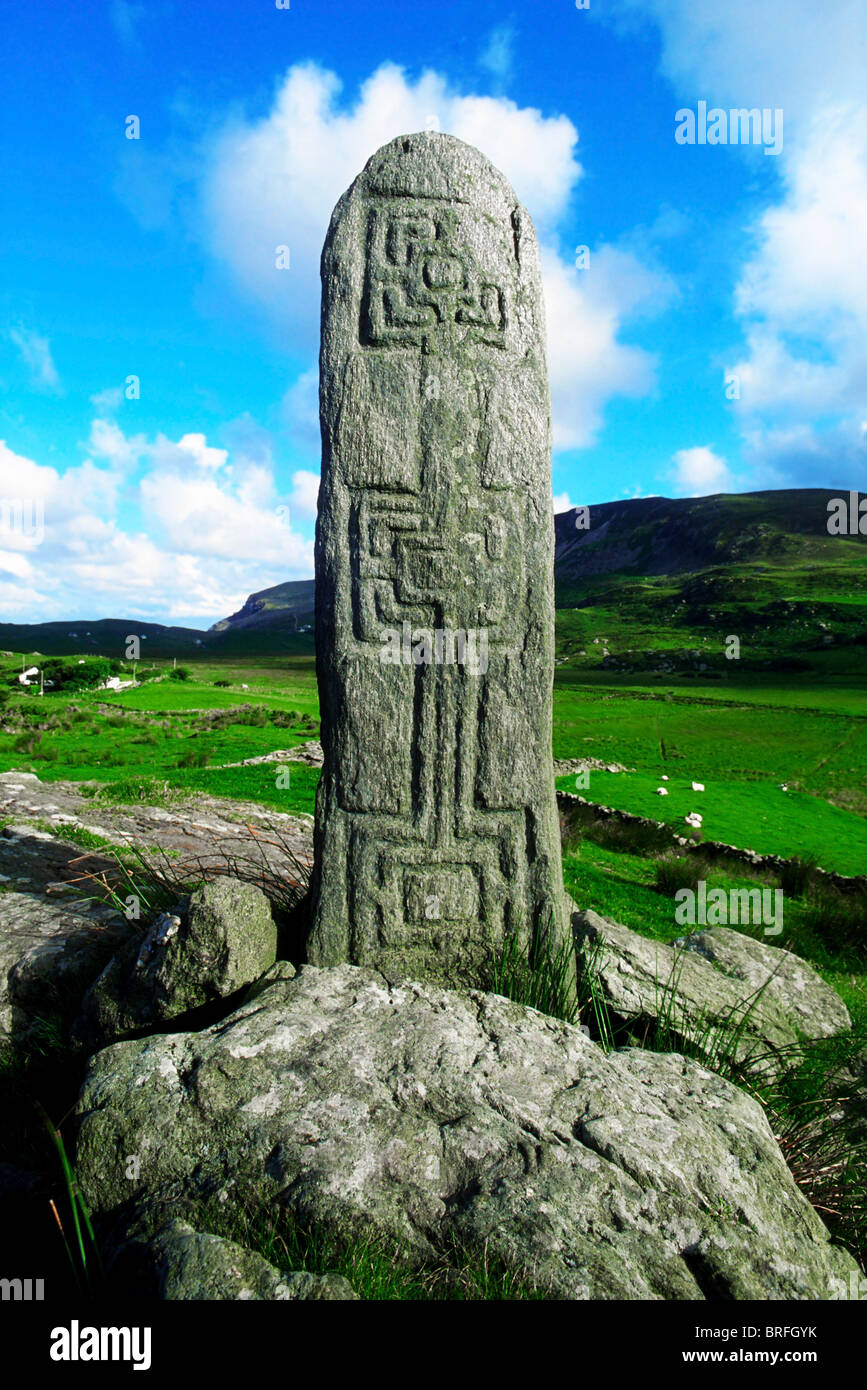 Pluck Standing StoneArchaeological place · 1491 yd
 CastleCastle, unclassified · 1.8 mi
 Mongorry HillMountain / peak · 3.2 mi
 Dry Arch MonumentHeritage attraction · 3.2 mi
 Lurgybrack Open FarmHeritage attraction · 3.5 mi
 European YewEuropean Yew · 3.6 mi
 RowanRowan · 3.6 mi
 PalaceHouse, fortified house · 4.6 mi
 Battle of Scarrifholisbattle · 7.3 mi