What is recorded here
Scotland's National Record of the Historic Environment records Carnoustie, Dundee Street, the Old Parish Church as Church (19th Century). The official map says its point is accurate as follows: NGR given to the nearest 10m. The record does not by itself mean that the public may enter the place.
The historic-place record does not grant public access. Check current conditions and ownership before entering land or a building.
Places near here
 CarnoustieCist(s) (bronze Age), Long Cist(s) (early Medieval), Armlet (gold)(bronze Age) · 59 yd
 Carnoustie War MemorialMemorial · 266 yd
 The Dibble TreeVisitor information · 274 yd
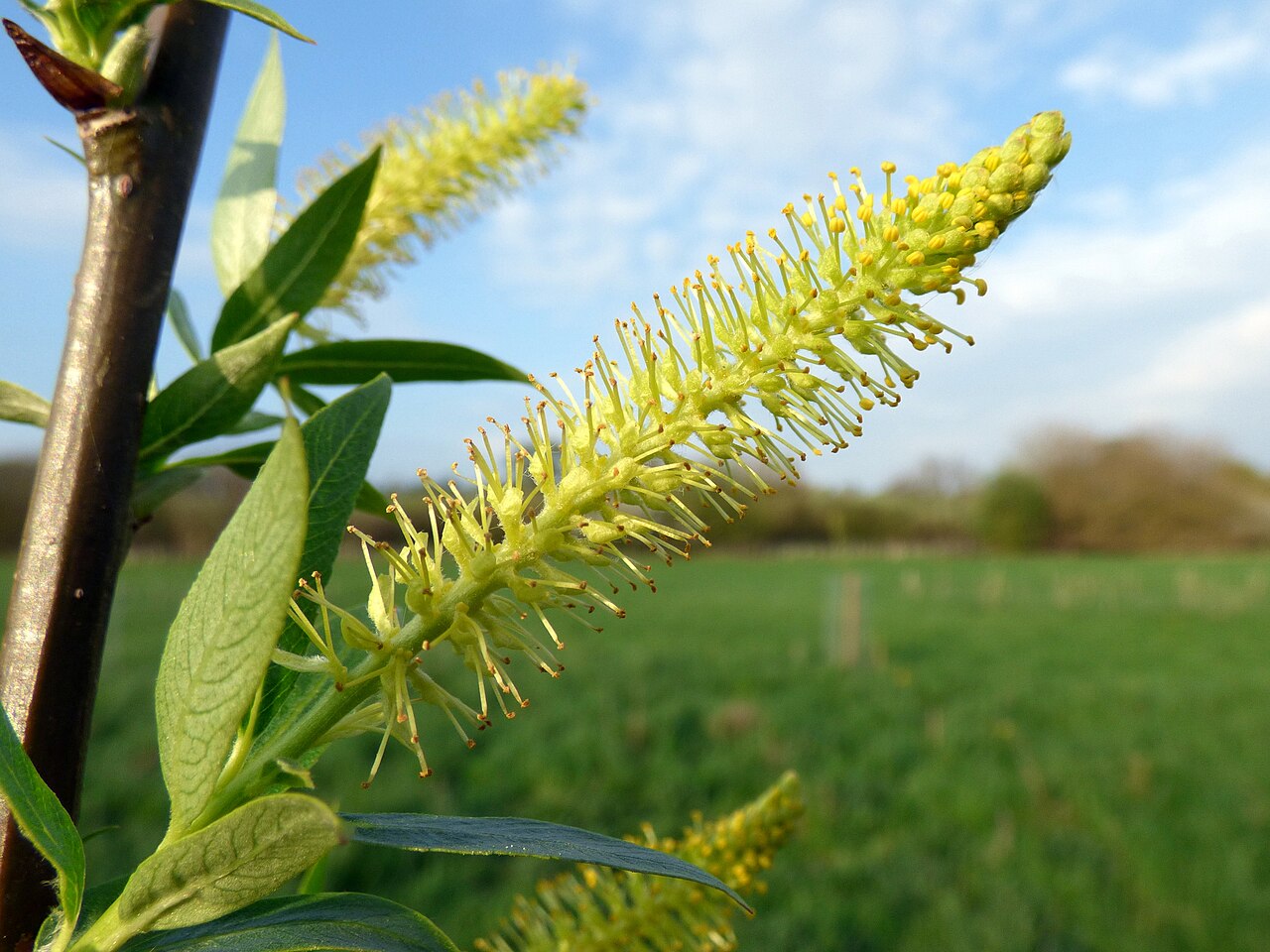 Dibble TreeCricket-bat willow · 286 yd
 Carnoustie, High StreetLong Cist(s) (early Medieval) · 436 yd
 Carnoustie, Barry BurnPillbox (20th Century) · 616 yd
 Battle of Barrybattle · 627 yd
 Carnoustie, Station Road, Station HotelHotel (mid 19th Century) · 747 yd
 Carnoustie BeachBeach / strand · 922 yd
 Westhaven BeachBeach / strand · 1.0 mi
 Panmure CastleCastle (medieval), Chapel (medieval), Garden (post Medieval)(possible), Moat (medieval), Mound(s) (period Unknown) · 2.1 mi
 Good Intent: Gaa Sand, Outer Tay Estuary, North SeaCraft (19th Century) · 2.5 mi