What is recorded here
Scotland's National Record of the Historic Environment records Carnoustie, Carlogie Road as Ditch(s) (period Unknown), Drain(s) (post Medieval), Pit(s) (period Unknown), Hammerstone(s) (period Unknown)(possible), Unidentified Pottery(s) (post Medieval), Unidentified Pottery(s) (19th Century). The official map says its point is accurate as follows: NGR given to the nearest 100m. The record does not by itself mean that the public may enter the place.
The historic-place record does not grant public access. Check current conditions and ownership before entering land or a building.
Places near here
 PanbrideRing Ditch(s) (period Unknown) · 318 yd
 CarlogieCropmark(s) (period Unknown), Pit(s) (period Unknown) · 462 yd
 Craigmill BridgeRoad Bridge (period Unassigned) · 1296 yd
 Carnoustie War MemorialMemorial · 1574 yd
 Battle of Barrybattle · 1584 yd
 Carnoustie, Station Road, Station HotelHotel (mid 19th Century) · 1637 yd
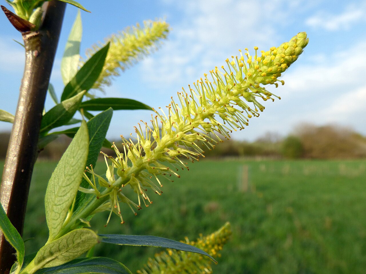 Dibble TreeCricket-bat willow · 1678 yd
 The Dibble TreeVisitor information · 1683 yd
 Carnoustie BeachBeach / strand · 1.0 mi
 Westhaven BeachBeach / strand · 1.1 mi
 Panmure CastleCastle (medieval), Chapel (medieval), Garden (post Medieval)(possible), Moat (medieval), Mound(s) (period Unknown) · 1.5 mi
 Pitcundrum WoodWood · 2.2 mi