What is recorded here
The official Northern Ireland record identifies this as CAIRNS (12); FIELD WALL and ALIGNMENT; part of PRE-BOG LANDSCAPE. Recorded period: BRONZE AGE; PREHISTORIC. Recorded protection: Scheduled. The official map point was placed at the centre of the recorded archaeological site from the source map reference.
Bronze Age cairns and field alignment; part of a prehistoric agricultural and ritual landscape. The site is significant as a scheduled monument reflecting early land use and social organization in the pre-bog environment.
The monument record does not grant public access. Check the route and ask the landowner before entering private land.
- What survives
- Recorded monument
Places near here
 Cashelbane CairnArchaeological place · 1.6 mi
 CROSS-CARVED STONE in AltaghoneyCROSS-CARVED STONE · 2.0 mi
 CrockdooishMountain / peak · 2.3 mi
 MullaghclogherMountain / peak · 2.5 mi
 Chambered GraveArchaeological place · 2.9 mi
 White Rocks GraveArchaeological place · 3.0 mi
 Learmount CastleCountry House · 3.9 mi
 Learmount WoodWood · 4.0 mi
 Altinaghree CastleCastle · 4.0 mi
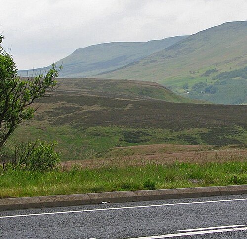 Sperrin MountainsMountain range · 4.6 mi
 Sperrins landscapeHeritage attraction · 4.7 mi
 Silverbrook MillsMill · 4.9 mi