What is recorded here
No visible stones remain in Upper Ballysillan, but the hidden cairn still belongs to the prehistoric landscape. It may have marked a boundary, a burial or a warning about difficult ground. Men and women likely passed that spot long before written history, reading the land through memory rather than maps. The missing stones do not erase the place; they refuse easy description.
The official Northern Ireland record identifies this as CAIRN (unlocated). Recorded period: PREHISTORIC. The official map point was placed at the centre of the recorded archaeological site from the source map reference.
The monument record does not grant public access. Check the route and ask the landowner before entering private land.
- What survives
- Recorded monument
Places near here
 D-SHAPED ENCLOSURE in BallyutoagD-SHAPED ENCLOSURE · 399 yd
 SUB-RECTANGULAR ENCLOSURE in BallyutoagSUB-RECTANGULAR ENCLOSURE · 487 yd
 FORTIFIED HOUSE & EARTHWORK DEFENCES (unlocated) in Grange OF MalluskFORTIFIED HOUSE & EARTHWORK DEFENCES (unlocated) · 1.8 mi
 1971 Scottish soldiers' killingsmurder · 2.0 mi
 DivisMountain / peak · 2.9 mi
 Patterson's Spade MillMill · 3.4 mi
 Black MountainMountain / peak · 3.5 mi
 Templepatrick Railway StationHouse · 4.2 mi
 Springhill Massacremass shooting · 4.3 mi
 Castle UptonCastle · 4.4 mi
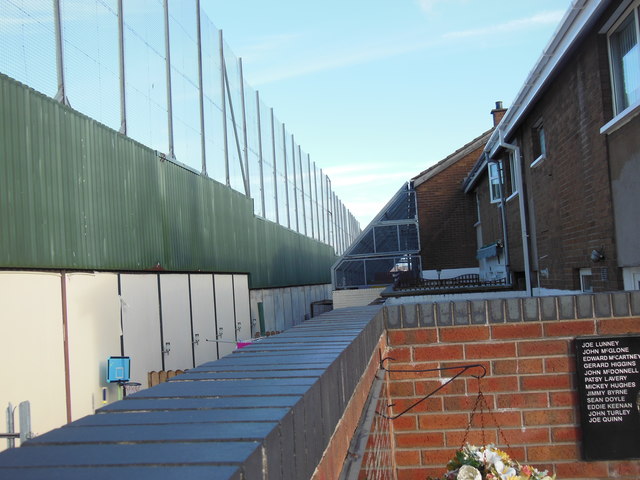 Clonard Martyrs MemorialMemorial · 4.6 mi
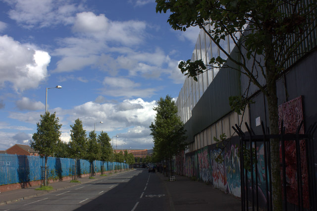 Peace WallHeritage attraction · 4.7 mi