What is recorded here
CAIRN? (unlocated) in Cleomack, County Down, Ireland, marks a prehistoric place where human hands may have stacked stone before written memory. The official record preserves the site but not its exact point, leaving the cairn to drift at the edge of knowing. That absence does not diminish it; it invites imagination. A person may have built the heap in grief, pride or warning, then vanished into time. The stones may still lie buried under grass, waiting for someone to notice the shape of what they did.
The official Northern Ireland record identifies this as CAIRN? (unlocated). Recorded period: PREHISTORIC. The official map point was placed at the centre of the recorded archaeological site from the source map reference.
The monument record does not grant public access. Check the route and ask the landowner before entering private land.
- What survives
- Recorded monument
Places near here
 ENCLOSURE; possibly HORIZONTAL MILL in CarcullionENCLOSURE; possibly HORIZONTAL MILL · 754 yd
 ENCLOSURE in CarcullionENCLOSURE · 1243 yd
 Downshire ArmsHotel · 1629 yd
 Hilltown LodgeHouse · 1.2 mi
 Sandbank Road Picnic AreaPicnic place · 2.0 mi
 Leitrim Lodge Picnic AreaPicnic place · 2.1 mi
 Santas CottageHeritage attraction · 2.5 mi
 UNCERTAIN: CASTLE COMMOGUE in GowardUNCERTAIN: CASTLE COMMOGUE · 2.5 mi
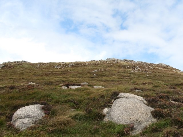 Rocky MountainMountain / peak · 2.5 mi
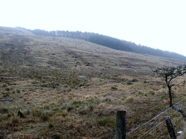 Crotlieve MountainMountain / peak · 2.6 mi
 West TorCliff · 2.7 mi
 Summit TorCliff · 2.8 mi