What is recorded here
Cairn, Baunteen, Co. Limerick: a vanished prehistoric burial mound whose stones were taken for field fences, leaving only a slight slope and the memory of a purple conglomerate cist beneath sandstone. Thomas Johnson Westropp measured it in 1919 and 1920, describing a six-to-seven-and-a-half-metre mound ringed by kerb stones, with a western end stone nearly two metres long. By 1920 the eastern wall, covers and most small stones had gone. The Galtee Mountains rise behind the empty field, their flanks read in tradition as the strings of Cliach's harps, while the low country opens north-west, as if the landscape still holds the shape of what was built and then quietly undone.
The precise location of a cairn described in 1840 as ‘located on a hill to the west of Carron Mountain’, has not been identified.
Compiled by: Fiona Rooney
Date of upload: 18 November 2021
The monument record does not grant public access. Check the route and ask the landowner before entering private land.
- What survives
- Recorded monument
Places near here
 Partially hachuredEnclosure · 112 yd
 Kilquane Church (in ruins)Church · 583 yd
 Grave YardGraveyard · 593 yd
 Ballymacshaneboy Castle (in ruins)Castle, unclassified · 753 yd
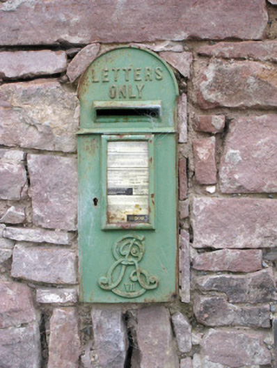 post boxpost box · 803 yd
 Caher HillMountain / peak · 999 yd
 BallinaboolaVisitor information · 1.3 mi
 Ardskeagh MoatCastle, motte · 1.4 mi
 Carron MountainMountain / peak · 1.6 mi
 ToberSpring · 2.4 mi
 Lady's WellSpring · 2.4 mi
 Holy Cross CemeteryGraveyard · 3.8 mi
Other information
Photo: Credit not shown in the picture search · Rights wording not checked; contact us if this picture should be removed