What is recorded here
Half a metre high and eight metres long, the cairn lies low on the Clare plateau like a stone tongue waiting to speak. It faces the valley and Turlough Hill, while a second cairn and a wedge tomb sit nearby, as if the dead had clustered where the land opens. People may have built it to mark a boundary, a burial or a meeting place beneath the wide sky.
On rough grazing near the upper edge of a steep NE-facing slope with panoramic views over the valley beyond and Turlough Hill cairn (CL006-017002-) c. 6.5km NNE. A low oval-shaped grass-covered cairn of large stones (8.4m N–S; 4.7m E–W; ext. H 0.5m) with no visible kerb or revetting stones. A second cairn (CL006-035002-) and a wedge tomb (CL006-035003-) lie c. 50m SE and 80m SE respectively. A mound wall runs WSW from c. 20m W for c. 100m, and later slab walls run N–S and E–W, forming rectilinear field systems; these both form part of a multiperiod field system (CL005-160001-) extending over the plateau to the W and into the neighbouring townlands of Cragballyconoal and Eanty More.
Compiled by: Mary Tunney and Ros Ó Maoldúin
Date of upload: 10 May 2021
The monument record does not grant public access. Check the route and ask the landowner before entering private land.
- What survives
- Recorded monument
Places near here
 IndicatedEnclosure · 131 yd
 Enclosure in Poulaphuca (oughtmama Ed)Enclosure · 567 yd
 PoulnabroneMemorial · 1.1 mi
 Castle (in ruins)Castle, unclassified · 1.8 mi
 Poulnabrone DolmenHeritage attraction · 1.9 mi
 The Portal TombVisitor information · 1.9 mi
 Saint Columba's Catholic Churchchurch/chapel · 1.9 mi
 Templecronan (in ruins)Church · 1.9 mi
 Poulnabrone - Burren GeositeVisitor information · 2.0 mi
 Gleninshing tombHeritage attraction · 2.0 mi
 Gleansleade Castle (in ruins)Castle, tower house · 2.1 mi
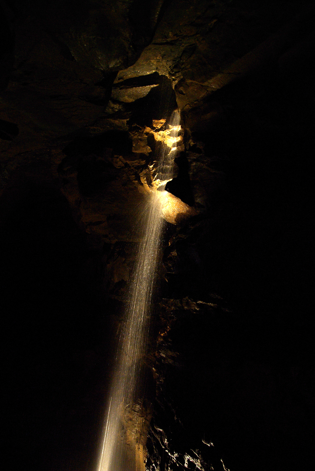 Aillwee CaveCave · 2.6 mi