What is recorded here
Cairn is a 228-acre townland in County Cavan where a megalithic structure still marks prehistoric life beneath later human change. The McKiernan Clan held the land for centuries, and Sithric Carrach carried its name before rising to chief in 1290. When King James VI and I redirected the territory during the Ulster Plantation, John Achmootie received a share, yet James Craig soon leased parts back to Ferrall Oge McKernan. Stones were raised for a mill, trees felled, and a walled house with a smith's forge appeared, turning ancient ground into a working estate.
Not marked on any OS ed. Situated in rough mountainous terrain c. 150m N of Tents Lough. Small circular cairn of large and small loose stones (diam. 2.25m; H 0.9m) tapering to a point.
The above description is derived from the published 'Archaeological Inventory of County Cavan' (Dublin: Stationery Office, 1995). In certain instances the entries have been revised and updated in the light of recent research.
Date of upload/revision: 22 December 2008
The monument record does not grant public access. Check the route and ask the landowner before entering private land.
- What survives
- Recorded monument
Places near here
 Englishman's HouseRuins · 677 yd
 CorrakeeldrumMountain / peak · 1.1 mi
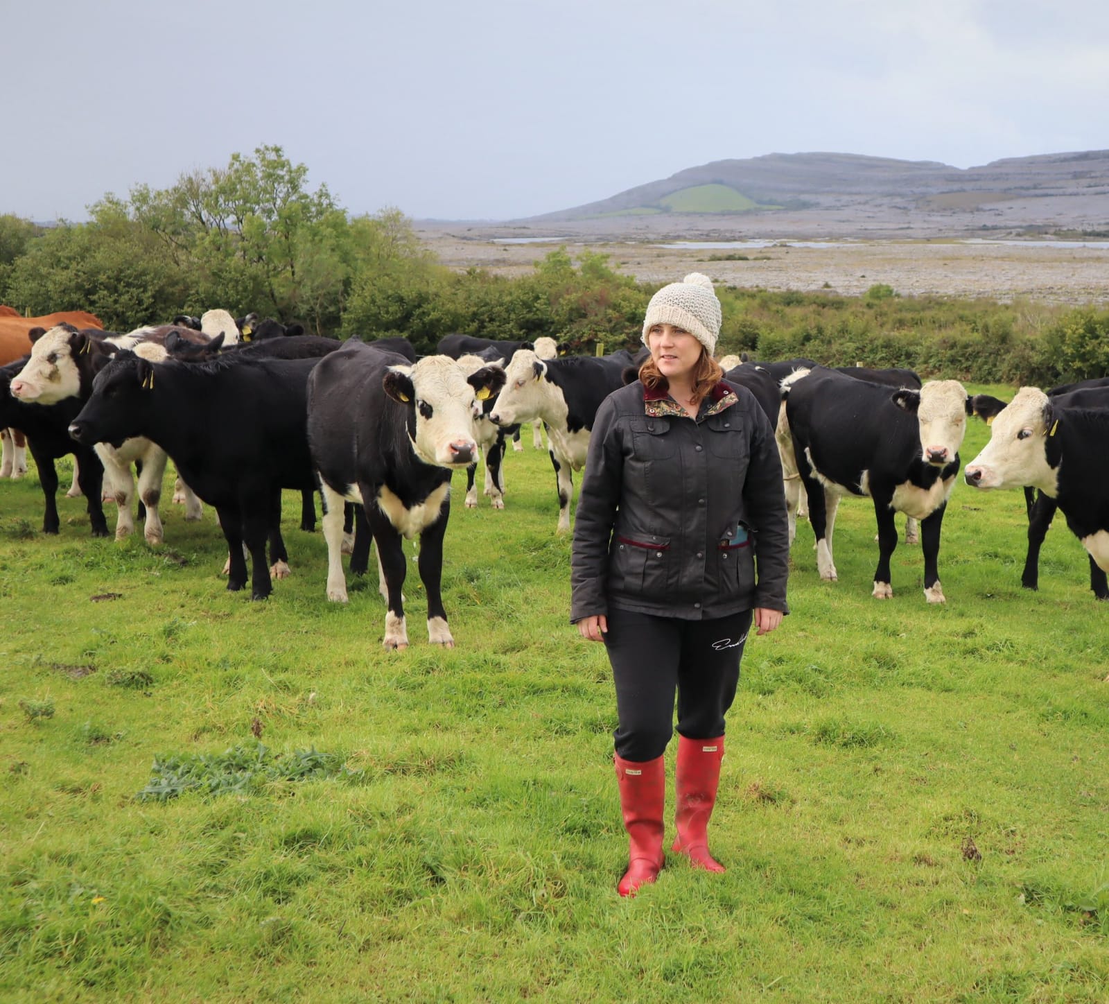 BronaghMountain / peak · 1.3 mi
 Mass-rock in GubaveenyMass-rock · 1.3 mi
 Sweat houseArchaeological place · 1.4 mi
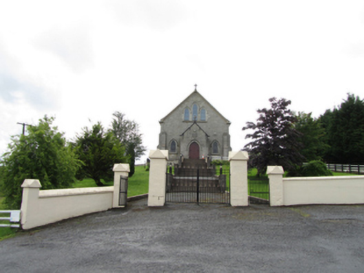 Church of the Immaculate Conceptionchurch/chapel · 2.0 mi
 TobermurrySpring · 2.4 mi
 Corrard ForestForest · 2.9 mi
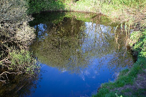 Shannon PotSpring · 3.4 mi
 Legnashinna CavernCave · 3.4 mi
 Giant's GraveArchaeological place · 3.8 mi
 Lough MacNean WalkWalking route · 4.0 mi