What is recorded here
Cairn is a much-denuded circular boundary of small stones on a low hill in County Cavan, first noted by Richardson in the early 18th century and later marked as a fort on official maps. A field boundary now cuts through the site, leaving only one side of its perimeter visible. The stones may have marked a home, a burial or a boundary for people whose names are no longer spoken, yet the circle still holds the shape of their attention on that hill.
First noted by Richardson in the early 18th century (Paterson, Gaffikin and Davies 1938, 147). Marked 'Fort' on OS 1836 and 1876 eds. Situated on the summit of a low hill. A much-denuded circular cairn of small stones (diam. 20.7m ENE-WSW; H 0.4m). The site is divided into two unequal portions by a field boundary aligned ENE-WSW. Only the outline of the perimeter is identifiable on the SSE side of the boundary.
The above description is derived from the published 'Archaeological Inventory of County Cavan' (Dublin: Stationery Office, 1995). In certain instances the entries have been revised and updated in the light of recent research.
Date of upload/revision: 22 December 2008
The monument record does not grant public access. Check the route and ask the landowner before entering private land.
- What survives
- Recorded monument
Places near here
 Ballyheady CairnArchaeological place · 724 yd
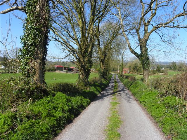 Enclosure in KillarahEnclosure · 757 yd
 Bellaheady MountainMountain / peak · 858 yd
 Killarah ForestForest · 1185 yd
 Killycluggin StoneVisitor information · 1471 yd
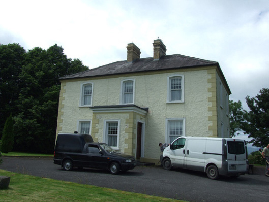 The Presbyterypresbytery/parochial/curate's house · 1.1 mi
 Saint Patrick's Catholic Churchchurch/chapel · 1.2 mi
 Ballyconnell Log CabinsForest · 1.2 mi
 LissanoverCastle, unclassified · 1.3 mi
 Bilberry HillMountain / peak · 1.7 mi
 Giants GraveArchaeological place · 2.3 mi
 Saint Mogue's IslandIslet · 2.4 mi