What is recorded here
Knocknagorraveela still stands at the ridge's end, but the cairn that marked the junction of four townlands has vanished into the bog. B. Ó Cíobháin recorded it in rough pasture before the earth swallowed the stones and memory alike. A possible burial from the 1790s remains attached to the lost site, suggesting someone was once set down where the boundary lines met. The land keeps what it takes.
In rough pasture, on a bog, on a level area of a ridge leading SE to Knocknagorraveela. B. Ó Cíobháin recorded a cairn at the junction of four townlands (SMR file). There are no visible remains of this cairn. A possible burial (KE101-049002-), dating to the 1790s, is associated with the cairn.
The above description is derived from the published 'Archaeological Inventory of County Kerry. Volume I: South-West Kerry' (Dublin: Stationery Office, 2009). In certain instances the entries have been revised and updated in the light of recent research.
Date of upload: 30 May 2011
This remains an important historical record, but the official description says the monument is no longer visible or has been destroyed. The monument record does not grant public access. Check the route and ask the landowner before entering private land.
- What survives
- No visible remains or recorded as destroyed
Places near here
 Feorus EastMountain / peak · 754 yd
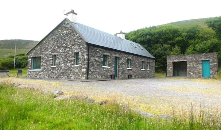 Enclosure in Dromroe (glanarought By.)Enclosure · 1222 yd
 Megalithic structure in DerryvorahigMegalithic structure · 1290 yd
 IndicatedHouse, vernacular house · 1.0 mi
 Knocknagorraveela NE TopMountain / peak · 1.1 mi
 Dromoghty Ho.Country house · 1.3 mi
 Gleninchaquin ParkHeritage attraction · 1.4 mi
 Gleninchaquin WaterfallWaterfall · 1.6 mi
 Dinish IslandIslet · 1.9 mi
 Uragh WoodForest · 2.0 mi
 Uragh Wood Nature ReserveNature reserve · 2.2 mi
 Dunkerron Island WestIslet · 2.9 mi