What is recorded here
Cairn stands on a gentle SW-facing slope in County Clare, its oval body of small stones and thin flags barely rising seventy centimetres above the rough grazing. A second cairn overlooks it thirty metres away, while a modern boulder wall and concrete cattle pen crowd its southern edge. The nearby excavated site revealed Chalcolithic and Early Bronze Age burials, suggesting this quiet stone heap may have marked dead or lived memory before farm machinery forgot the difference.
On patchy rough grazing and bare rock on a gentle SW-facing slope, overlooked by a second cairn (CL006-045002-) c. 30m to the ESE, and within field system (CL006-042001-) (Jones, Carey and Henniger 2011, 42).
An oval cairn (ext. dims. 13.8m N–S; 7.6m E–W; max. H 0.7m) consisting of partially grassed-over small stones revetted by thin flags on the flat visible from NW–NNE. It is similar in form to the cairn (CL006-044----) c. 200m to the S, which was partially excavated and shown to contain burials from the Chalcolithic and Early bronze Age (Eogan 2002). The S limits are disturbed by a modern machine-built wall of massive boulders beyond which a concrete cattle pen and yard are built in next field beside the road.
Compiled by: Mary Tunney and Ros Ó Maoldúin
Date of upload: 27 July 2021
The monument record does not grant public access. Check the route and ask the landowner before entering private land.
- What survives
- Recorded monument
Places near here
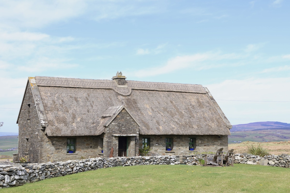 Enclosure in Coolnatullagh (burren By., Carran Par.)Enclosure · 387 yd
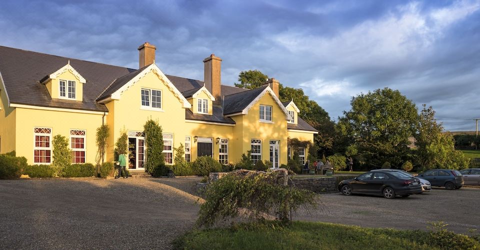 Dermot & Grania's BedArchaeological place · 421 yd
 Cappagh CastleCastle · 1.2 mi
 Kilnaloone GraveyardArchaeological place · 1.5 mi
 MacDuagh's BedRuins · 1.6 mi
 St. MacDuachs Church (in ruins)Church · 1.6 mi
 Grave of Saint Mac Duagh's ServantArchaeological place · 1.7 mi
 Glencolumbkille CastleCastle · 1.8 mi
 Turlough HillMountain / peak · 2.6 mi
 Corcomroe AbbeyVisitor information · 4.0 mi
 Corcomroe Abbey Geopark SiteVisitor information · 4.0 mi
 Battle of Lough Raskabattle · 4.1 mi