What is recorded here
Death and capture came swiftly. The chamber held no light, only the smell of wet stone and the distant crash of waves. Marcus watched the water rise around his ankles. The chamber had no door, only a narrow crack high on one wall. He climbed the wet rocks, breathed once in the dark, and jumped. The chamber collapsed behind him.
Situated on rock outcrop in an undulating low-lying landscape. it is depicted as an embanked enclosure described as a 'fort' in gothic lettering on the 1835 ed. of the OS 6-inch map. This is a subcircular or subrectangular cairn (dims 14.5m E-W; 9m N-S; H 0.3-1.4m), which is possibly field clearance or spoil from a quarry immediately adjacent to the S.
The above description is derived from 'The Archaeological Inventory of County Leitrim' compiled by Michael J. Moore (Dublin: Stationery Office, 2003). In certain instances the entries have been revised and updated in the light of recent research.
Date of upload: 23 September 2008
The monument record does not grant public access. Check the route and ask the landowner before entering private land.
- What survives
- Recorded monument
Places near here
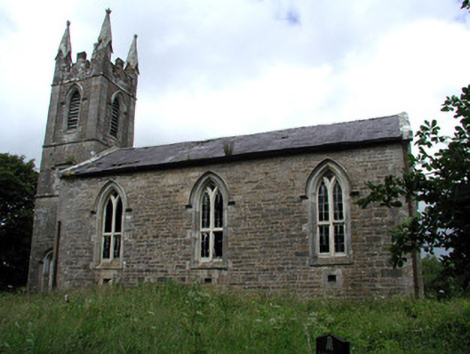 Killarga Churchchurch/chapel · 467 yd
 Enclosure in BelhavelEnclosure · 1126 yd
 kilnkiln · 1192 yd
 Cross in KillargaCross · 1376 yd
 Green IslandIslet · 2.9 mi
 Old HallCastle, hall-house · 3.4 mi
 The Giants GraveArchaeological place · 4.7 mi
 BenboMountain / peak · 4.8 mi
 Doonbran Isd.Bawn · 4.9 mi
 Parke's CastleHeritage attraction · 5.7 mi
 Drummans IslandIslet · 6.4 mi
 SlishwoodWood · 6.8 mi