What is recorded here
Cairn is a vanished marker on a NE-facing slope above the Dromoghty River valley, Kenmare Bay and Lake. The little cairn may have guided people through rough hill pasture or marked a boundary, ceremony or grief. Its stones are no longer visible, but the name still points to the exact place where human hands first shaped the landscape.
In rough hill pasture, on a NE-facing slope, commanding excellent views to the Dromoghty River valley and Lake and Kenmare Bay. B. Ó Ciobháin recorded the placename 'carn beag', or little cairn in this townland (SMR file). This cairn is not visible at ground level.
The above description is derived from the published 'Archaeological Inventory of County Kerry. Volume I: South-West Kerry' (Dublin: Stationery Office, 2009). In certain instances the entries have been revised and updated in the light of recent research.
Date of upload: 30 May 2011
The monument record does not grant public access. Check the route and ask the landowner before entering private land.
- What survives
- Recorded monument
Places near here
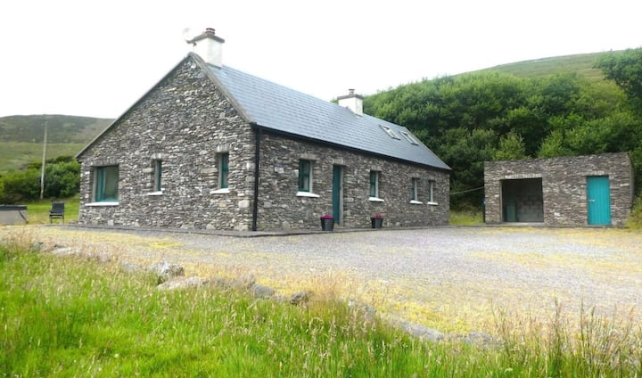 Enclosure in Dromroe (glanarought By.)Enclosure · 802 yd
 SheepfoldEnclosure · 828 yd
 Feorus EastMountain / peak · 868 yd
 Mass-house in CarksMass-house · 1489 yd
 Dromoghty Ho.Country house · 1.1 mi
 Dinish IslandIslet · 1.5 mi
 Knocknagorraveela NE TopMountain / peak · 1.5 mi
 Gleninchaquin ParkHeritage attraction · 1.9 mi
 Gleninchaquin WaterfallWaterfall · 2.0 mi
 Uragh WoodForest · 2.3 mi
 Dunkerron Island WestIslet · 2.4 mi
 Uragh Wood Nature ReserveNature reserve · 2.5 mi