What is recorded here
The official Northern Ireland record identifies this as CAIRN & STONE ALIGNMENT. Recorded period: PREHISTORIC. The official map point was placed at the centre of the recorded archaeological site from the source map reference.
A Neolithic cairn and stone alignment; significant as a ritual or ceremonial site from the prehistoric period.
The monument record does not grant public access. Check the route and ask the landowner before entering private land.
- What survives
- Recorded monument
Places near here
 STONE CIRCLE, CAIRN & ALIGNMENT in DrumskinnySTONE CIRCLE, CAIRN & ALIGNMENT · 339 yd
 Drumskinny Stone CircleHeritage attraction · 341 yd
 Montiaghroe Standing StonesPublicly named standing stone · 1398 yd
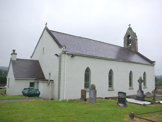 Saint Joseph's Catholic Churchchurch/chapel · 2.5 mi
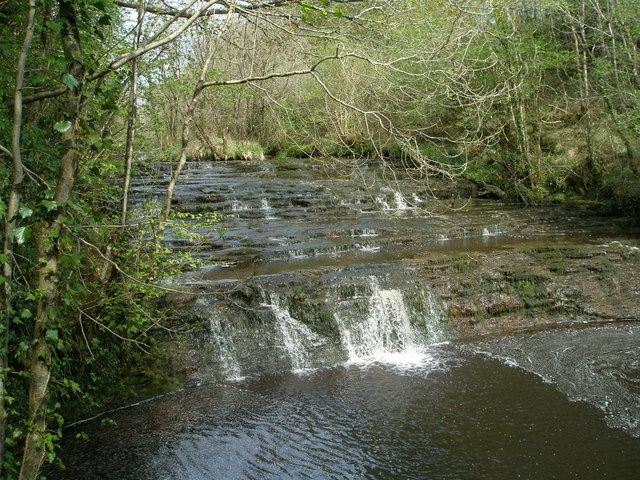 Drummoney WaterfallWaterfall · 2.7 mi
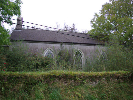 Cashelenny Church of Ireland Churchchurch/chapel · 2.8 mi
 Dooraa HillMountain / peak · 3.2 mi
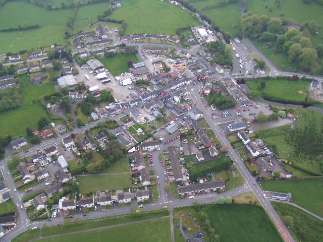 Kesh ForestForest · 3.9 mi
 Grousehall ForestForest · 4.0 mi
 Bin MountainMountain / peak · 4.7 mi
 Macart IslandIslet · 4.8 mi
 Physicberry IslandIslet · 4.8 mi