What is recorded here
Located on a rise at the N end of the N-S summit ridge of Sheebeg Hill. This cairn is not marked on any map but is visible as a circular feature on aerial photographs (GSIAP; H, 76-7) and on subsequent series. It is a grass and scrub- covered subcircular stony platform (diam. 20m N-S; H 0.6-0.8m) separated by a berm (Wth 2-3m) from a grass-covered stone ring-bank (Wth 4.2-5.2m; int. H 0.1-0.3m; ext. H 0.4-0.6m). The E part is overgrown with blackthorn (max. ext. diam. 34.5m N-S).
The above description is derived from 'The Archaeological Inventory of County Leitrim' compiled by Michael J. Moore (Dublin: Stationery Office, 2003). In certain instances the entries have been revised and updated in the light of recent research.
Date of upload: 23 September 2008
A ring-cairn, likely dating to the Neolithic or early Bronze Age, representing a form of ritual or funerary monument associated with early agricultural communities in the region. Its circular form and location on a prominent hilltop suggest it may have had ceremonial or territorial significance.
The monument record does not grant public access. Check the route and ask the landowner before entering private land.
- What survives
- Recorded monument
Places near here
 IndicatedFairy fort / stone ringfort · 267 yd
 Enclosure in SheebegEnclosure · 333 yd
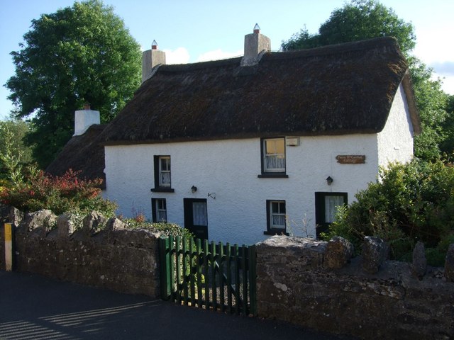 Fionn McCumhail Cottagehouse · 1131 yd
 bridgebridge · 1171 yd
 Castle JohnCastle · 1444 yd
 Rusheen IslandIslet · 1522 yd
 Otter IslandIsland · 1648 yd
 Sheemore Ambush MemorialMonument · 2.4 mi
 CastleforeCastle, tower house · 2.4 mi
 Leabaidh DermotCave · 2.7 mi
 Shannon-Erne WaterwayVisitor information · 4.5 mi
 Battle of Áth an Chipbattle · 4.9 mi