What is recorded here
Great Carn stood in Ballaghbeg as a possible passage tomb, holding prehistoric secrets until the Ordnance Survey destroyed it in 1835. The men measured what they wanted to erase, reducing ancient depth to a flat line on paper. Whatever lived inside that cairn vanished without witness, leaving only the suspicion that mapping can be a kind of killing.
The official Northern Ireland record identifies this as CAIRN, possibly PASSAGE TOMB: GREAT CARN (destroyed by OS,1835). Recorded period: PREHISTORIC. The official map point was placed at the centre of the recorded archaeological site from the source map reference.
Passage tomb, dating to the Neolithic period (c. 4000–2500 BCE), significant as part of a broader network of megalithic monuments in the Irish landscape.
The monument record does not grant public access. Check the route and ask the landowner before entering private land.
- What survives
- Recorded monument
Places near here
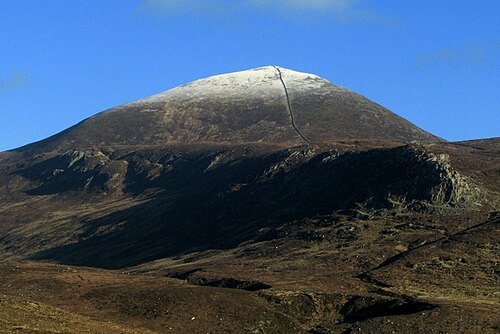 Slieve DonardMountain / peak · 9 yd
 MULTIPLE CIST CAIRN: LESSER CARN in Ballaghbeg; Ballyaghanery UpperMULTIPLE CIST CAIRN: LESSER CARN · 258 yd
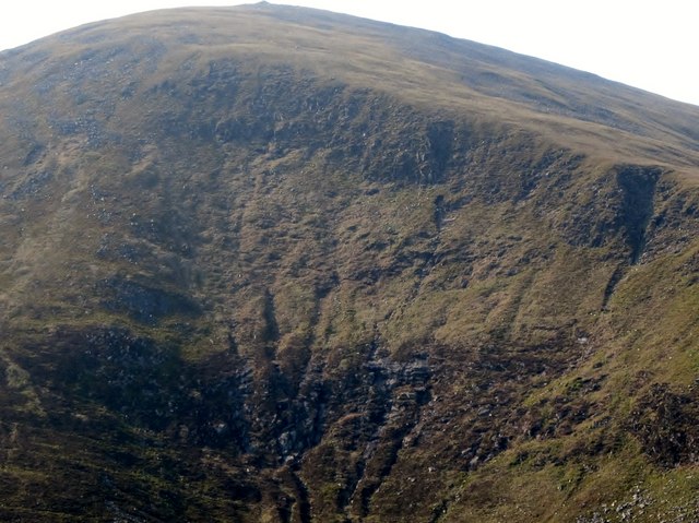 Eagle RockCliff · 765 yd
 CrossoneMountain / peak · 1113 yd
 Annalong ButtressCliff · 1320 yd
 Thomas's MountainMountain / peak · 1513 yd
 Black StairsWaterfall · 1.0 mi
 Ice HouseIce House · 1.2 mi
 Donard ForestForest · 1.4 mi
 Granite TrailWalking route · 1.5 mi
 The Bogie LineWalking route · 1.5 mi
 Donard BridgeBridge · 1.8 mi