What is recorded here
No visible ruin remains in Ballymully, only a question mark saved inside a state database. That vacancy does not diminish the place; it refuses to be reduced into a tidy factual card. A cairn may have stood there in PREHISTORIC time, marked a boundary, buried a body or simply gathered stones from a crowded field. The missing point on the modern map becomes an invitation to walk the land and ask what the area still remembers.
The official Northern Ireland record identifies this as CAIRN? (O.S. memoir site, unlocated). Recorded period: PREHISTORIC; UNCERTAIN. The official map point was placed at the centre of the recorded archaeological site from the source map reference.
The monument record does not grant public access. Check the route and ask the landowner before entering private land.
- What survives
- Recorded monument
Places near here
 ENCLOSURE in CarnetENCLOSURE · 1.1 mi
 ENCLOSURE in LislaneENCLOSURE · 1.2 mi
 Green Lane MuseumMuseum · 1.3 mi
 Roe Valley Country ParkWood · 1.5 mi
 CHURCH: KIRK HILL in TemplemoyleCHURCH: KIRK HILL · 2.0 mi
 DrenaghCastle · 2.3 mi
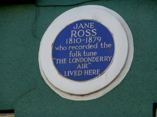 Where Jane Ross recorded Danny BoyMemorial · 2.7 mi
 Donald's HillMountain / peak · 3.1 mi
 Keady MountainMountain / peak · 3.1 mi
 NUNNERY, CHAPEL & CROSS-CARVED STONE in GortgarnNUNNERY, CHAPEL & CROSS-CARVED STONE · 4.2 mi
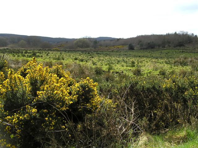 Cam ForestForest · 4.3 mi
 Legananam PotCliff · 5.8 mi