What is recorded here
Cairstead Gorm: a blue-green mound of river stones in Tamary, County Down. Children skipped marbles across its smooth top and called it a fairy kitchen. Adults refused to walk past after dark because the stones whispered names they had forgotten. The mound still stands, slightly larger than memory, as if feeding on the stories told above it.
The official Northern Ireland record identifies this as CAIRN. Recorded period: PREHISTORIC. The official map point was placed at the centre of the recorded archaeological site from the source map reference.
The monument record does not grant public access. Check the route and ask the landowner before entering private land.
- What survives
- Recorded monument
Places near here
 ENCLOSURE in CarnanyENCLOSURE · 1.0 mi
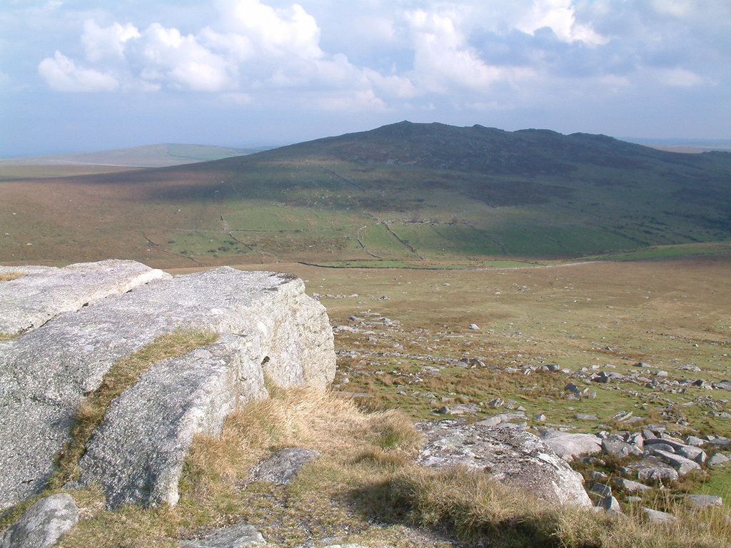 ENCLOSURE in Ballygorian MoreENCLOSURE · 1.1 mi
 Ryans Presbyterian ChurchChurch · 2.3 mi
 Downshire ArmsHotel · 2.3 mi
 TOWER-HOUSE: RATHFRILAND CASTLE in RossconorTOWER-HOUSE: RATHFRILAND CASTLE · 3.1 mi
 Sandbank Road Picnic AreaPicnic place · 3.8 mi
 UNCERTAIN: CASTLE COMMOGUE in GowardUNCERTAIN: CASTLE COMMOGUE · 3.8 mi
 Leitrim Lodge Picnic AreaPicnic place · 3.9 mi
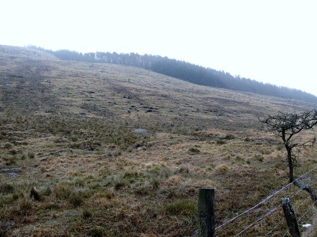 Crotlieve MountainMountain / peak · 4.1 mi
 Santas CottageHeritage attraction · 4.1 mi
 OuleyMountain / peak · 4.1 mi
 West TorCliff · 4.4 mi