What is recorded here
Linford, County Antrim, Ireland: CAIRN, a marker of stones or memory, stands where human hands first shaped the land. Its age is uncertain, but its purpose is clear: to mark, to remember, to claim presence. The stones may have fallen or been buried, yet the name remains. What was lost is not forgotten, only waiting for someone to look up and see it again.
The official Northern Ireland record identifies this as CAIRN. Recorded period: UNCERTAIN. The official map point was placed at the centre of the recorded archaeological site from the source map reference.
The monument record does not grant public access. Check the route and ask the landowner before entering private land.
- What survives
- Recorded monument
Places near here
 ENCLOSURE in LinfordENCLOSURE · 576 yd
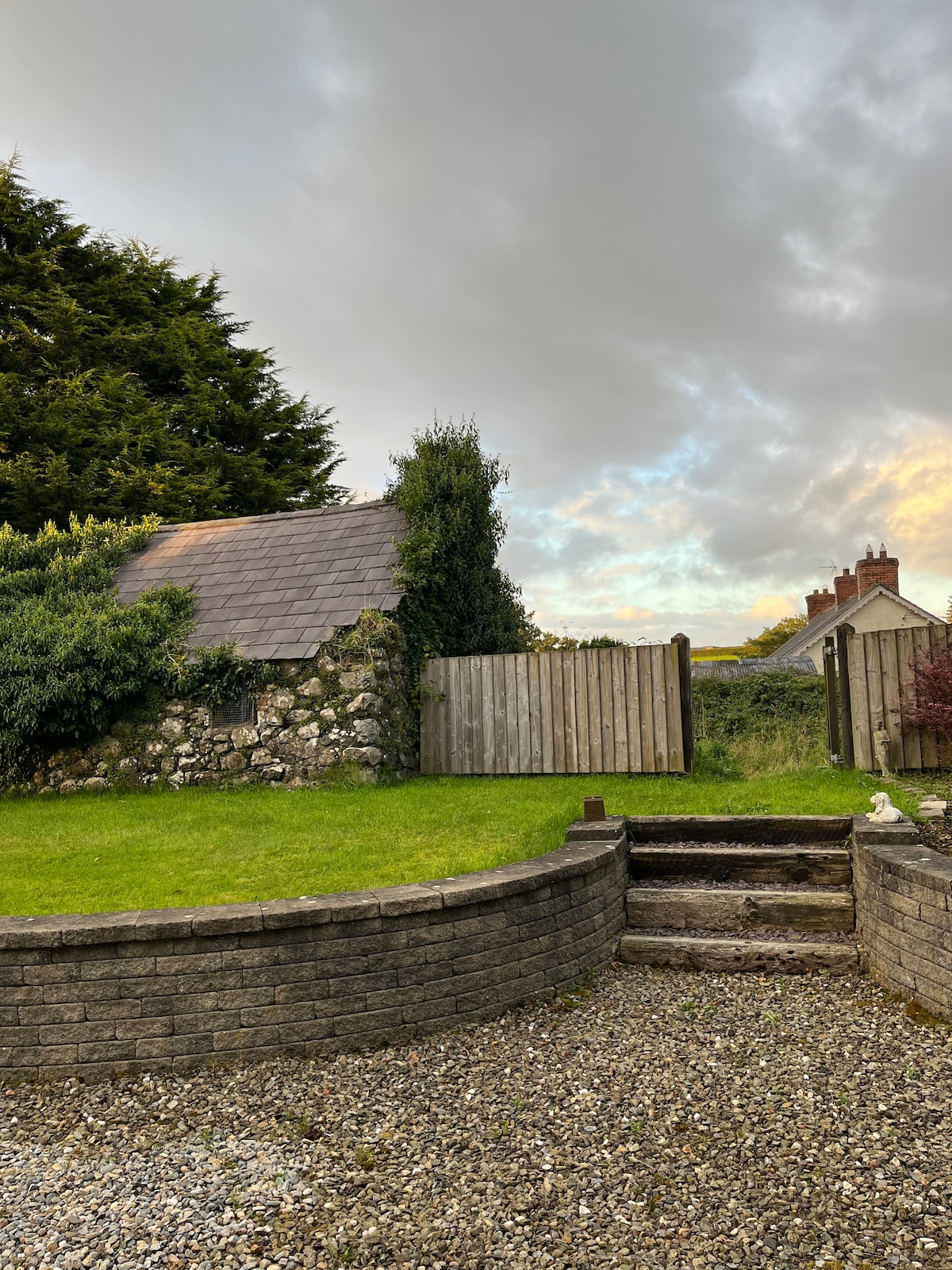 RECTANGULAR ENCLOSURE & HOUSE SITE in LinfordRECTANGULAR ENCLOSURE & HOUSE SITE · 1384 yd
 BallycoosMountain / peak · 1.2 mi
 Craigy HillMountain / peak · 1.2 mi
 Ballygally CastleHeritage attraction · 3.0 mi
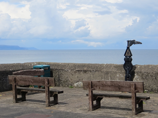 Millennium MilepostVisitor information · 3.1 mi
 Garden TrailWalking route · 3.5 mi
 CairncastleRuins · 3.6 mi
 Ballygalley HeadCliff · 3.7 mi
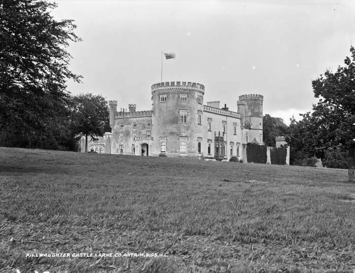 TOWER-HOUSE & BAWN: KILWAUGHTER CASTLE in DemesneTOWER-HOUSE & BAWN: KILWAUGHTER CASTLE · 3.7 mi
 Kilwaughter CastleCastle · 3.8 mi
 Glenarm ForestForest · 4.0 mi