What is recorded here
No visible marker remains, yet the region held a Bronze Age burial where human hands arranged stone around the dead. The exact spot has blurred, but the act of remembering did not.
The official Northern Ireland record identifies this as CAIRN & CIST BURIAL (unlocated). Recorded period: BRONZE AGE; PREHISTORIC. The official map point was placed at the centre of the recorded archaeological site from the source map reference.
Bronze Age cairn and cist burial; part of a broader prehistoric funerary tradition in the region. Its presence indicates early ceremonial or burial practices associated with the Bronze Age in Northern Ireland.
The monument record does not grant public access. Check the route and ask the landowner before entering private land.
- What survives
- Recorded monument
Places near here
 ENCLOSURE in CreevamoyENCLOSURE · 1037 yd
 CHURCH; GRAVEYARD; ENCLOSURE; Man-made underground passage; MILL RACE: ST. PATRICK'S CHAPEL or KILLYBANWAY (unlocated) in CreevamoyCHURCH; GRAVEYARD; ENCLOSURE; Man-made underground passage; MILL RACE: ST. PATRICK'S CHAPEL or KILLYBANWAY (unlocated) · 1548 yd
 SlemishMountain / peak · 2.1 mi
 The Thatch InnPublic House · 2.5 mi
 CASTLE in CrebillyCASTLE · 4.1 mi
 CarncormickMountain / peak · 4.6 mi
 MOUNDMOUND, CASHEL?: MCQUILLAN'S CASTLE · 5.3 mi
 St. Patrick's ChurchChurch · 5.7 mi
 2025 Northern Ireland riotsriot · 5.9 mi
 Big CollinMountain / peak · 7.0 mi
 Glenarm ForestForest · 7.9 mi
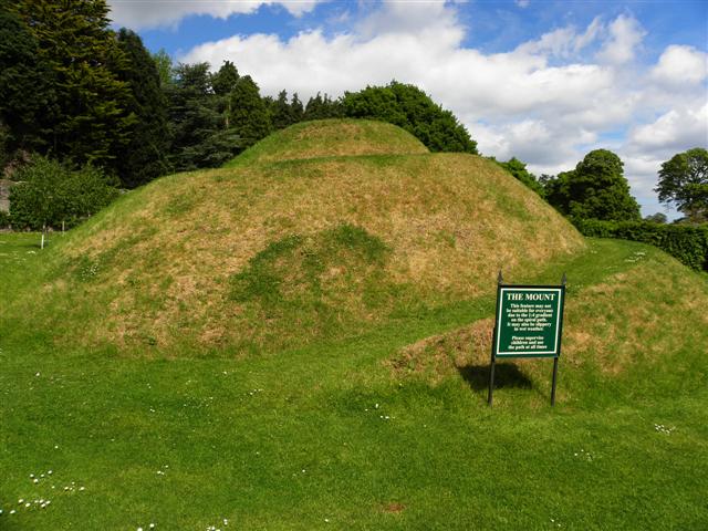 The MountViewpoint · 8.6 mi