
What is recorded here
Cairn, a boundary marker in County Cork, Ireland, stands as a testament to human ingenuity and the enduring spirit of exploration. These ancient structures, often found along coastlines or mountain paths, have guided travellers through storms and darkness for centuries. Each stone laid represents a moment of discovery, a life touched by the raw power of nature. To stand before a cairn is to connect with countless others who walked these paths before, creating an unbroken chain of human experience across time.
One of five cairns (15191, 15193, 15194, 15195) shown on 1937 OS 6-inch map near top of Carron Mountain (see 11813), marking the Cork-Limerick border. Not located.
The above description is derived from the published 'Archaeological Inventory of County Cork. Volume 4: North Cork' (Dublin: Stationery Office, 2000). In certain instances the entries have been revised and updated in the light of recent research.
Date of upload/revision: 14 January 2009
The monument record does not grant public access. Check the route and ask the landowner before entering private land.
- What survives
- Recorded monument
Places near here
 Little CarronMountain / peak · 53 yd
 Boundary CairnCairn, boundary cairn · 862 yd
 MoundsCairn, boundary cairn · 953 yd
 Carron MountainMountain / peak · 1000 yd
 Kilquane Church (in ruins)Church · 1.8 mi
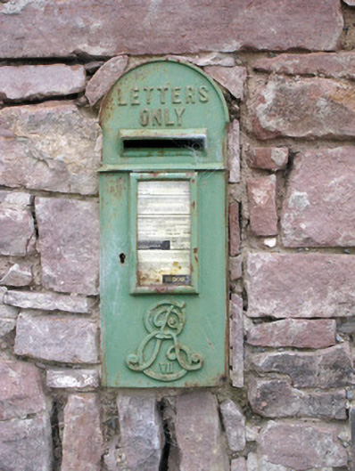 post boxpost box · 1.9 mi
 BallinaboolaVisitor information · 2.2 mi
 Ballymacshaneboy Castle (in ruins)Castle, unclassified · 2.5 mi
 Ardskeagh MoatCastle, motte · 2.9 mi
 ToberpatrickSpring · 4.3 mi
 ToberSpring · 4.5 mi
 Rogan's Rock CovertWood · 4.5 mi
Other information
Photo: Credit not shown in the picture search · Rights wording not checked; contact us if this picture should be removed