What is recorded here
Twelve stones mark the junction where Doolgan, Dree, Drin and Slievenisky meet, a rare number made visible in County Down. They are not a random heap; they are a complete set, perhaps counting months, tides, names or the chambers of forgotten time. To walk past them is to enter a place where memory stopped fading and began pointing.
The official Northern Ireland record identifies this as CAIRN (at junction of 4 townlands): THE TWELVE CAIRNS. Recorded period: PREHISTORIC. The official map point was placed at the centre of the recorded archaeological site from the source map reference.
Neolithic passage tomb; dates to the earlier prehistoric period in Ireland, approximately 3500–2500 BCE. Its location at the junction of four townlands suggests ritual or territorial significance, common in Neolithic funerary and ceremonial landscapes.
The monument record does not grant public access. Check the route and ask the landowner before entering private land.
- What survives
- Recorded monument
Places near here
 Slieve CroobMountain / peak · 18 yd
 Slieve Croob Transmitter Road walkWalking route · 988 yd
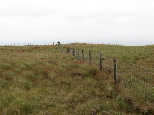 SlieveniskyMountain / peak · 1226 yd
 Pass LoaningWalking route · 1.1 mi
 Backaderry WoodForest · 1.6 mi
 Legananny Cross StoneMonument · 1.9 mi
 Legananny DolmenArchaeological place · 2.2 mi
 FORTIFICATION: McCARTAN'S CASTLE (unlocated) in MagheratimpanyFORTIFICATION: McCARTAN'S CASTLE (unlocated) · 3.6 mi
 SpinkaneeCliff · 3.6 mi
 Assembly RoomsAssembly Room · 3.8 mi
 Spa Presbyterian ChurchChurch · 3.9 mi
 Clarkhill WoodForest · 4.1 mi