
What is recorded here
On the summit of a hillock in undulating grassland. Correctly 'Lios na hÁilliughadh' on the basis of Hardiman's (1846, 371) reading, this monument consists of a poorly preserved subcircular ringfort (E-W c. 43m, N-S c. 41m) defined by a collapsed grassed-over stony bank. A field wall overlies the bank from E to SE and from SSW to NNW. A stone-lined gap at NNE may be original. A series of collapsed stony banks within the interior may represent internal divisions.
The above description is derived from the published 'Archaeological Inventory of County Galway Vol. II - North Galway'. Compiled by Olive Alcock, Kathy de hÓra and Paul Gosling (Dublin: Stationery Office, 1999).
Date of upload: 05 August 2010
The monument record does not grant public access. Check the route and ask the landowner before entering private land.
- What survives
- Recorded monument
Places near here
 LisnabrockaFairy fort / stone ringfort · 632 yd
 Enclosure in Carrowbeg (clare By.)Enclosure · 683 yd
 Kildaree Church (in ruins)Church · 908 yd
 Church in ruinsChurch · 1170 yd
 Ross Errilly FriaryHeritage attraction · 1.2 mi
 Headford CastleCastle, unclassified · 1.6 mi
 BallynacreggaWood · 1.7 mi
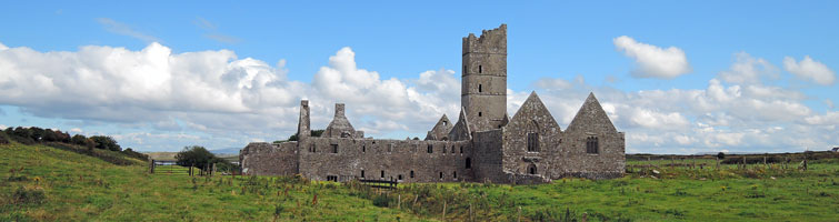 Tower; Proposed site of Ross AbbeyCastle, unclassified · 1.9 mi
 Walsh's IslandIslet · 3.1 mi
 Freeheen IslandIslet · 3.6 mi
 Kilcoona Round TowerHeritage attraction · 4.4 mi
 Ballinduff BayBay · 4.7 mi
Other information
Photo: Credit not shown in the picture search · Rights wording not checked; contact us if this picture should be removed