What is recorded here
Caherhebrick Fort is a 35-metre circular cashel on a Galway grassland rise, its drystone wall surviving only from north to east while a natural scarp completes the circle elsewhere. A second ringfort sits three hundred metres east, suggesting two households or twin purposes on the same ridge. Field boundaries now cut through the northeast and southeast, proving the fort has long served as a neighbour rather than a mystery.
On a rise in grassland. Very poorly preserved circular cashel (D 35m) defined by a drystone wall from N to E; elsewhere a scarp forms the enclosing element. A field boundary cuts the monument at NE and SE. A ringfort (GA028-045----) lies c. 300m to E.
The above description is derived from the published 'Archaeological Inventory of County Galway Vol. II - North Galway'. Compiled by Olive Alcock, Kathy de hÓra and Paul Gosling (Dublin: Stationery Office, 1999).
Date of upload: 05 August 2010
The monument record does not grant public access. Check the route and ask the landowner before entering private land.
- What survives
- Recorded monument
Places near here
 Killeen FortArchaeological place · 298 yd
 Ralusk FortsFairy fort / earthen ringfort · 418 yd
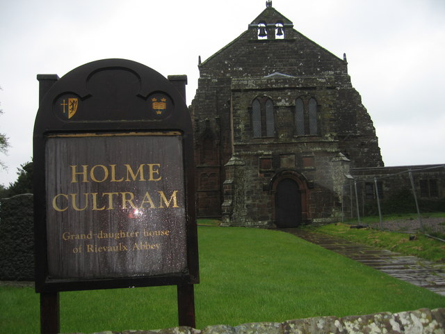 AbbeytownHouse, 18th/19th century · 977 yd
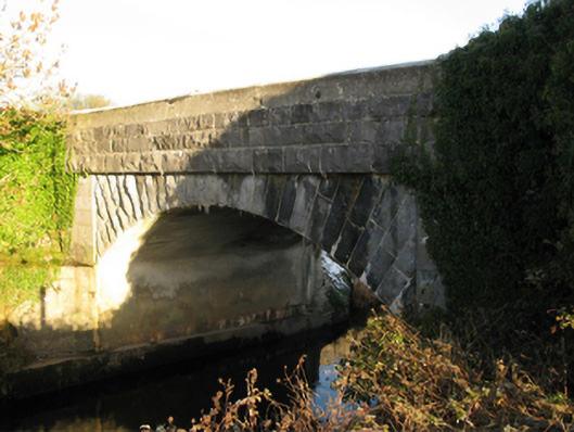 Shrule Bridgebridge · 1527 yd
 Shrule Castle in ruinsCastle, hall-house · 1568 yd
 Shrule CastleCastle · 1572 yd
 Pesooge PlantationForest · 1.3 mi
 Cregg PlantationForest · 1.6 mi
 Ross Errilly FriaryHeritage attraction · 3.7 mi
 Walsh's IslandIslet · 6.9 mi
 Otter IslandIslet · 7.2 mi
 School of FalconryHeritage attraction · 9.4 mi
Other information
Photo: Credit not shown in the picture search · Rights wording not checked; contact us if this picture should be removed