
What is recorded here
Caherard is a stone ringfort in County Clare, Ireland. Its boundary still stands where human hands placed rock upon rock, marking a lived space rather than an empty field. The stones may have surrounded a home, a workshop or a place of refuge, but the function has faded from local memory. What remains is a circle strong enough to resist forgetting, waiting for someone to imagine the life it once held.
The Archaeological Survey of Ireland (ASI) is in the process of providing information on all monuments on The Historic Environment Viewer (HEV). Currently the information for this record has not been uploaded. To access available information for research purposes please make an appointment in advance with the Archive Unit (open Fridays 10.00 am – 5.00 pm), Department of Housing, Local Government and Heritage, The Custom House, Dublin 1 D01W6XO or email NMarchive@housing.gov.ie.
Caherard, Doonsallagh West is a ringfort, a type of early-medieval rural settlement or defensive structure commonly found in Ireland. Local tradition associates such sites with the fairies, and they were often avoided due to beliefs about supernatural inhabitants.
The monument record does not grant public access. Check the route and ask the landowner before entering private land.
- What survives
- Recorded monument
Places near here
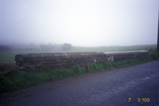 Doonsallagh Bridgebridge · 473 yd
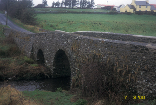 Aghy Bridgebridge · 1.3 mi
 LisnagatFairy fort / earthen ringfort · 1.5 mi
 Enclosure in KnockanalbanEnclosure · 1.7 mi
 Knockanalban Castle (Site of)Castle, unclassified · 1.7 mi
 Doonogan Castle (Site of)Castle, tower house · 1.8 mi
 Kilcorcoran Grave YardArchaeological place · 2.2 mi
 The Music Makers of West ClareMuseum · 2.9 mi
 SlievecallanMountain / peak · 3.2 mi
 Spanish Point BeachBeach / strand · 3.7 mi
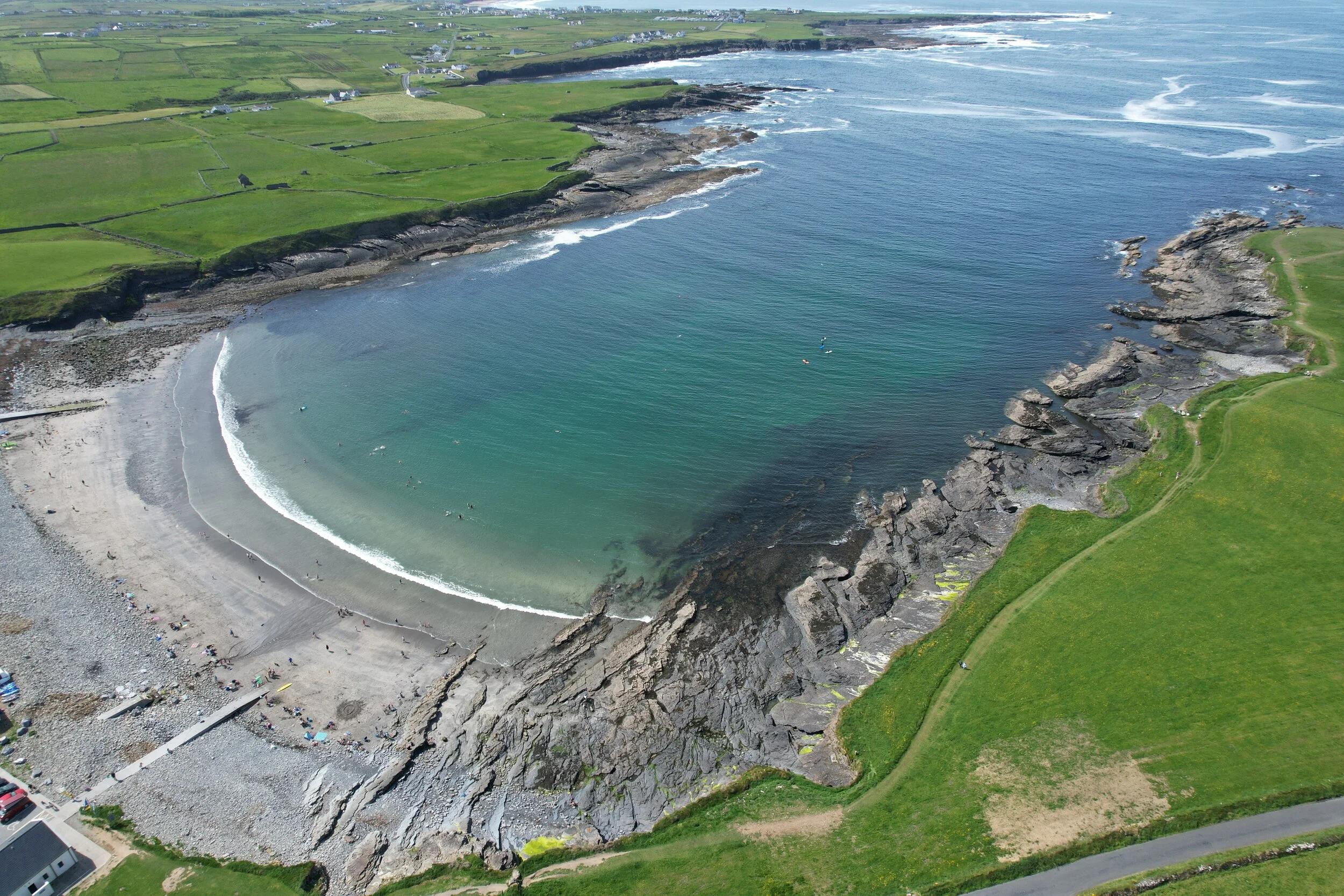 White StrandBeach / strand · 4.3 mi
 Emlagh PointHeadland · 4.6 mi
Other information
Photo: Credit not shown in the picture search · Rights wording not checked; contact us if this picture should be removed