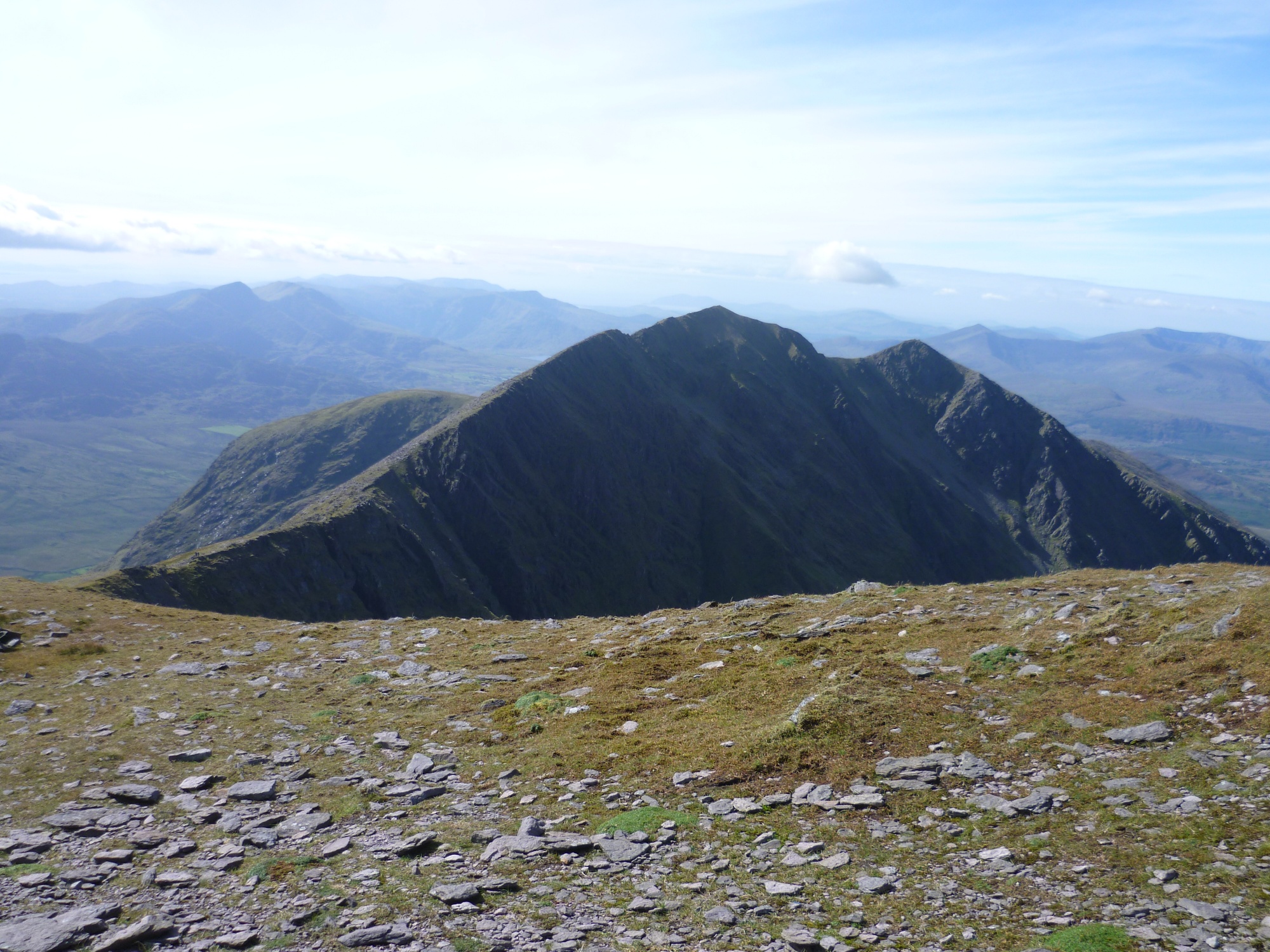
What is recorded here
Internal diam. 22.5m N-S, 21.6m E-W
Caher/An Chathair: This circular univallate rath is located in boggy pasture at the head of the Oghermong river valley. Field boundaries skirt the site at W and N and a deep stream flows alongside it at S. The bank has an average external height of 1.8m, an internal height of .8m and a basal width of 3.9m. Traces of stone-facing, now mostly collapsed, survives on its inner face. A well-defined, stone-faced entrance, 2.3m wide, is located at NNE. A stretch of a flat-bottomed external fosse, measuring 2.8m wide and 1m deep, is extant at E.
The foundations of a subcircular, drystone-built hut (KE079-092001-), marked 'Cloghaun (site of)' on the OS maps, are located in the S half of the rath's interior. It has an internal diameter of 6.2m and a possible entrance at NW. Its interior is filled with stone, and a particularly dense stone scatter abuts it externally at N.
The above description is derived from A. O'Sullivan and J. Sheehan (compilers), 'The Iveragh peninsula: an archaeological survey of South Kerry'. Cork University Press (1996), no. 530. In certain instances the entries have been revised and updated in the light of recent research.
Date of upload: 29 July 2013
A circular univallate ringfort (rath) likely dating to the early medieval period, associated with local folklore of fairy dwellings and otherworldly inhabitants.
The monument record does not grant public access. Check the route and ask the landowner before entering private land.
- What survives
- Recorded monument
Places near here
 IndicatedEcclesiastical enclosure · 1007 yd
 SheepfoldHut site · 1417 yd
 FoilcloghMountain / peak · 1.2 mi
 Laharn Bog LoopWalking route · 1.2 mi
 RoadRoad, road/trackway · 1.4 mi
 Mc Crehins Castle (Site of)Castle, unclassified · 1.5 mi
 BeenduffMountain / peak · 1.5 mi
 Carhan Househouse · 2.6 mi
 CastleCastle, unclassified · 2.7 mi
 Foughil IslandIslet · 3.3 mi
 Ballycarbery CastleRuins · 3.8 mi
 White Strand BeachBeach / strand · 4.1 mi
Other information
Photo: Credit not shown in the picture search · Rights wording not checked; contact us if this picture should be removed