
What is recorded here
Three faded banks and two hollows still mark a 35-metre circle in Galway grassland, though ploughing has rubbed much of its edge into memory. It is called Cahemaman Fort, a fairy fort in local story, and that name suggests people once kept its shape alive because the land refused to explain itself. A second ringfort waits two hundred metres east, as if the field held more than one claim to being seen.
In gently undulating grassland. Poorly preserved circular rath (D 35m) defined by three denuded banks and two intervening fosses. A field boundary cuts the monument at S and W, to SW of which ploughing has almost completely levelled the middle and outer banks. A second wall overlies the outer bank from E to S. Within the interior, traces of earthworks, possibly associated, are visible. A ringfort (GA042-082----) lies c. 200m to E. (Killanin and Duignan 1969, 304-5)
The above description is derived from the published 'Archaeological Inventory of County Galway Vol. II - North Galway'. Compiled by Olive Alcock, Kathy de hÓra and Paul Gosling (Dublin: Stationery Office, 1999).
Date of upload: 05 August 2010
The monument record does not grant public access. Check the route and ask the landowner before entering private land.
- What survives
- Recorded monument
Places near here
 Caherconnaught FortFairy fort / earthen ringfort · 202 yd
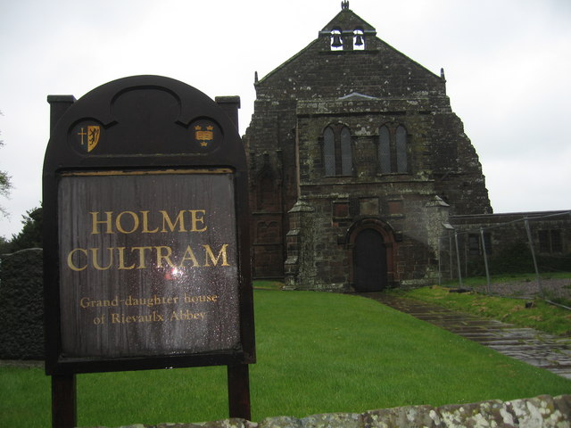 AbbeytownHouse, 18th/19th century · 638 yd
 Ralusk FortsFairy fort / earthen ringfort · 653 yd
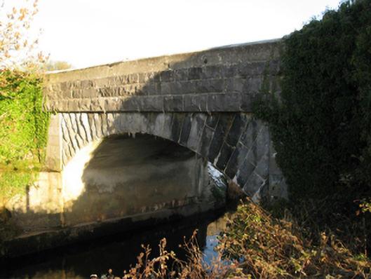 Shrule Bridgebridge · 1450 yd
 Shrule Castle in ruinsCastle, hall-house · 1548 yd
 Shrule CastleCastle · 1551 yd
 Pesooge PlantationForest · 1.8 mi
 Cregg PlantationForest · 1.9 mi
 Ross Errilly FriaryHeritage attraction · 3.1 mi
 Kilcoona Round TowerHeritage attraction · 4.8 mi
 Walsh's IslandIslet · 6.4 mi
 Otter IslandIslet · 6.6 mi
Other information
Photo: Credit not shown in the picture search · Rights wording not checked; contact us if this picture should be removed