What is recorded here
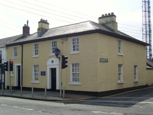
Attached three-bay two-storey Garda Síochána station, built 1926, on an L-shaped plan; two-bay two-storey side (west) elevation. Hipped slate roof on an L-shaped plan with clay ridge tiles, rendered chimney stacks on rendered bases having stepped capping supporting terracotta or yellow terracotta pots, slightly sprocketed eaves, and cast-iron rainwater goods on timber eaves boards on timber boarded eaves retaining cast-iron downpipes. Roughcast walls bellcast over rendered plinth. Square-headed central door opening with concrete threshold, and rendered surround framing glazed timber panelled door. Square-headed window openings with concrete sills, and concealed dressings framing six-over-six timber sash windows. Road fronted on a corner site with concrete brick cobbled footpath to front.
A Garda Síochána station erected to a standardised design produced by the Office of Public Works (established 1831) representing an integral component of the early twentieth-century built heritage of Cabinteely with the architectural value of the composition, one allegedly repurposing the shell of a constabulary barrack attacked during "The Troubles" (1919-23), suggested by such attributes as the compact plan form centred on a restrained doorcase; and the diminishing in scale of the openings on each floor producing a feint graduated tiered visual effect. Having been well maintained, the elementary form and massing survive intact together with substantial quantities of the original fabric, thus upholding the character or integrity of a Garda Síochána station making a pleasing visual statement in an urbanised village street scene.
This does not grant access. Most recorded buildings are privately owned; view them only from public ground unless the owner allows entry.
Places near here
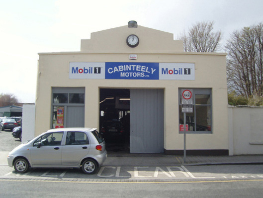 Cabinteely Motorsgarage · 64 yd
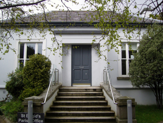 Saint Brigid's Catholic Churchpresbytery/parochial/curate's house · 87 yd
 Cabinteely ParkVisitor information · 254 yd
 Cabinteely Park OrchardVisitor information · 296 yd
 Proclamation of the Irish RepublicMemorial · 393 yd
 Fulacht fia in BrenanstownFulacht fia · 479 yd
 Burial ground in LoughlinstownBurial ground · 578 yd
 CornelscourtCastle, tower house · 1428 yd
 Bawn in Carrickmines GreatBawn · 1.1 mi
 Roche's HillNature reserve · 1.2 mi
 Michael DavittMemorial · 1.3 mi
 Mullins HillMountain / peak · 1.3 mi
Other information
Photo: National Inventory of Architectural Heritage · Website use allowed for educational or private purposes with source credit