What is recorded here
Antrim Street and a medieval house mark a settlement where seventeenth-century life layered atop older boundaries in East Central Ward. The site carries both MEDIEVAL and POST-MED origins, suggesting people kept returning to the same ground long before modern maps existed. Perhaps neighbours still walk past walls that once divided farms, kitchens and claims, unaware they are crossing a living archive of patience and repetition.
The official Northern Ireland record identifies this as C17th SETTLEMENT SITE: ANTRIM STREET & MEDIEVAL HOUSE & PROPERTY BOUNDARIES, CF 26. Recorded period: MEDIEVAL; POST-MED. The official map point was placed at the centre of the recorded archaeological site from the source map reference.
The monument record does not grant public access. Check the route and ask the landowner before entering private land.
- What survives
- Recorded monument
Places near here
 Carrickfergus Borough CouncilTown Hall · 91 yd
 Carrickfergus MuseumMuseum · 92 yd
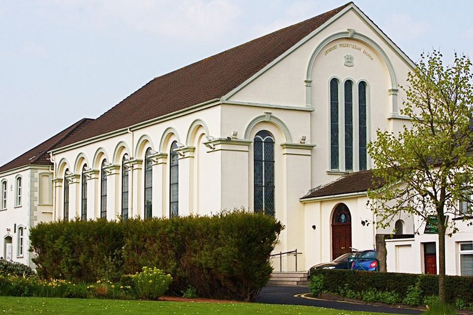 FORTIFIED HOUSE built on FRANCISCAN FRIARY: JOYMOUNT in CarrickfergusFORTIFIED HOUSE built on FRANCISCAN FRIARY: JOYMOUNT · 112 yd
 First Presbyterian ChurchChurch · 131 yd
 MEDIEVAL PARISH CHURCH, POST-MED. & MODERN CHURCH & GRAVEYARD: ST NICHOLAS' CHURCH, ST NICHOLAS OF CRAGFERGUS in CarrickfergusMEDIEVAL PARISH CHURCH, POST-MED. & MODERN CHURCH & GRAVEYARD: ST NICHOLAS' CHURCH, ST NICHOLAS OF CRAGFERGUS · 157 yd
 Siege of Carrickfergussiege · 177 yd
 King William III MonumentMonument · 256 yd
 Battle of Carrickfergus (1760)Major battlefield · 266 yd
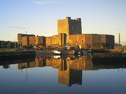 Carrickfergus CastleCastle · 269 yd
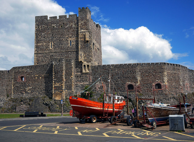 CARRICKFERGUS CASTLE in CarrickfergusCARRICKFERGUS CASTLE · 275 yd
 ENCLOSURE in Carrickfergus; East Central WardENCLOSURE · 293 yd
 US RangersMemorial · 413 yd