
What is recorded here
On the highest point of Bush Island in County Mayo, a low dry-stone wall traces a rough oval through the undergrowth. Roughly seventeen metres long and fourteen wide, the structure occupies a commanding position above the water, suggesting a deliberate enclosure rather than a random boundary. It may have guarded a small monastic precinct, held livestock, or simply exploited the natural defence of the surrounding lake. The wall still stands, quietly waiting for someone to remember what it kept inside.
Bush Island is recorded as a islet in County Mayo. Its open map record supplies this location and any linked names or public references.
Places near here
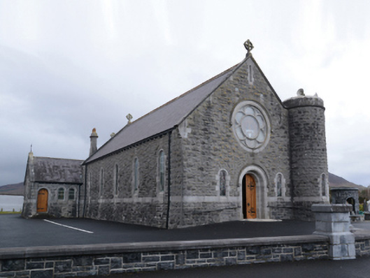 Saint Mary's Catholic Churchchurch/chapel · 1187 yd
 Bofeenaun Abbey in ruinsReligious house, Franciscan Third Order Regular · 1448 yd
 IndicatedEnclosure · 2.1 mi
 FarbreigaMountain / peak · 2.3 mi
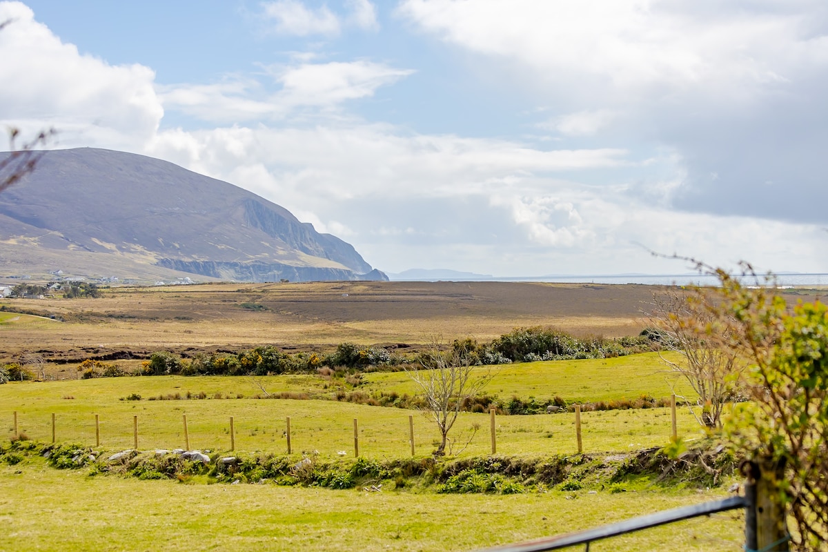 LisnagorpFairy fort / earthen ringfort · 2.6 mi
 NephinMountain / peak · 3.0 mi
 Titanic Memorial ParkMemorial · 3.1 mi
 Ballyduffy CastleCastle, unclassified · 3.9 mi
 CastleCastle, unclassified · 4.1 mi
 Cliff IslandIslet · 4.4 mi
 Roe IslandIslet · 5.6 mi
 Grave of the KingsArchaeological place · 6.6 mi
Other information
Photo: Credit not shown in the picture search · Rights wording not checked; contact us if this picture should be removed