
What is recorded here
Burnthouse Plantation is shown as a forest on the public map of North Yorkshire. The saved point is the map point or the centre of its mapped shape.
This does not grant access. Check current paths, opening conditions and ownership before entering.
Places near here
 RawlingListed building · 808 yd
 Possible boundary stoneMonument or public art · 1390 yd
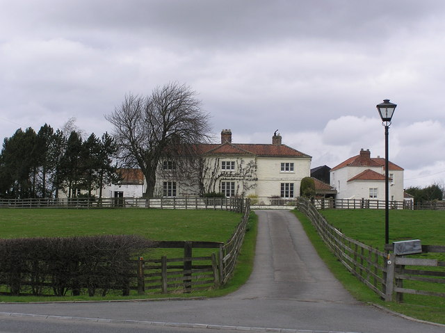 White Cross FarmChurch, cross or graveyard · 1.1 mi
 Kathleen WoodWood · 1.2 mi
 Betty Watson's HillMountain / peak · 1.2 mi
 Gatehouse PlantationWood · 1.3 mi
 The Civilian SettlementVisitor information · 1.4 mi
 Piercebridge Roman BridgeArchaeological place · 1.5 mi
 St Mary's WellSpring · 1.9 mi
 Public Footpath to Ulnaby HallHeritage place · 2.2 mi
 Micklow HillMountain / peak · 3.1 mi
 Barn at Castle FarmCastle, fort or tower · 3.3 mi
Other information
Photo: Gordon Hatton · CC BY-SA 2.0