
What is recorded here
Testing was carried out by Ellen O’Carroll of Irish Archaeological Consultancy Ltd under licence No. E2684 as part of an archaeological mitigation programme associated with the N6 Kilbeggan to Athlone dual carriageway. The site was identified during testing undertaken by Yvonne Whitty of IAC Ltd in July 2005 (A016/058). The site was excavated in March 2006. An excavation area measuring 15m by 15m was opened. The site consisted of a possible burnt spread and a series of shallow pits. The burnt spread was 9.7m long, 7m wide and 0.08m deep and contained charcoal-flecked clay and fragments of red brick. The pits were both 1m wide and 0.2m deep and contained charcoal-flecked clays. No finds were recovered during the course of the excavation (Bennett 2010, 573).
Compiled by Caimin O'Brien
Date of upload/revision: 10 November 2011
The monument record does not grant public access. Check the route and ask the landowner before entering private land.
- What survives
- Recorded monument
Places near here
 Enclosure in RussaghEnclosure · 642 yd
 Water millWater mill, horizontal-wheeled · 764 yd
 KilnKiln, corn-drying · 811 yd
 IndicatedMound · 841 yd
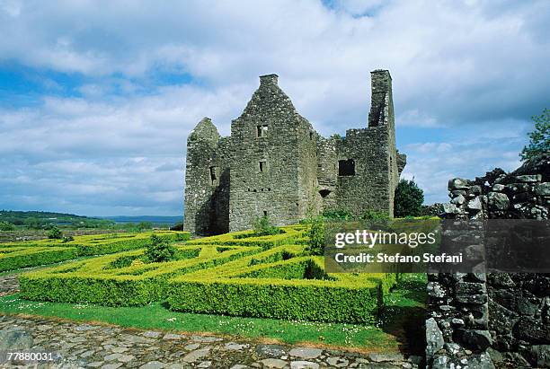 CastleCastle, unclassified · 1137 yd
 Kilmalady HillMountain / peak · 1.0 mi
 Hachured, Wall, HorseleapCastle, motte and bailey · 1.2 mi
 ToberaskeenSpring · 2.8 mi
 Chapel HillForest · 2.9 mi
 Roughan HillMountain / peak · 3.1 mi
 Clara Bog BoardwalkHeritage attraction · 4.6 mi
 Inchaloon IslandIslet · 4.9 mi
Other information
Photo: Credit not shown in the picture search · Rights wording not checked; contact us if this picture should be removed