What is recorded here
Knockaneacoolteen holds a poor defined burn spread beside a large raised area, marking the kind of place where fire and human life touched the same ground. The pasture keeps the event alive because the land still carries the shape of what happened there.
In pasture, on a slight S-facing slope. A poorly defined spread of burnt material on the W side of a large raised area in a field. (Castleisland District Archaeological Survey)
Compiled by: Elizabeth Byrne, Ursula Egan and Sheila Ronan, Archaeological Survey Unit, University College, Cork.
Date of upload: 31 January 2011
The monument record does not grant public access. Check the route and ask the landowner before entering private land.
- What survives
- Recorded monument
Places near here
 Fulacht fia in KnockaneacoolteenFulacht fia · 705 yd
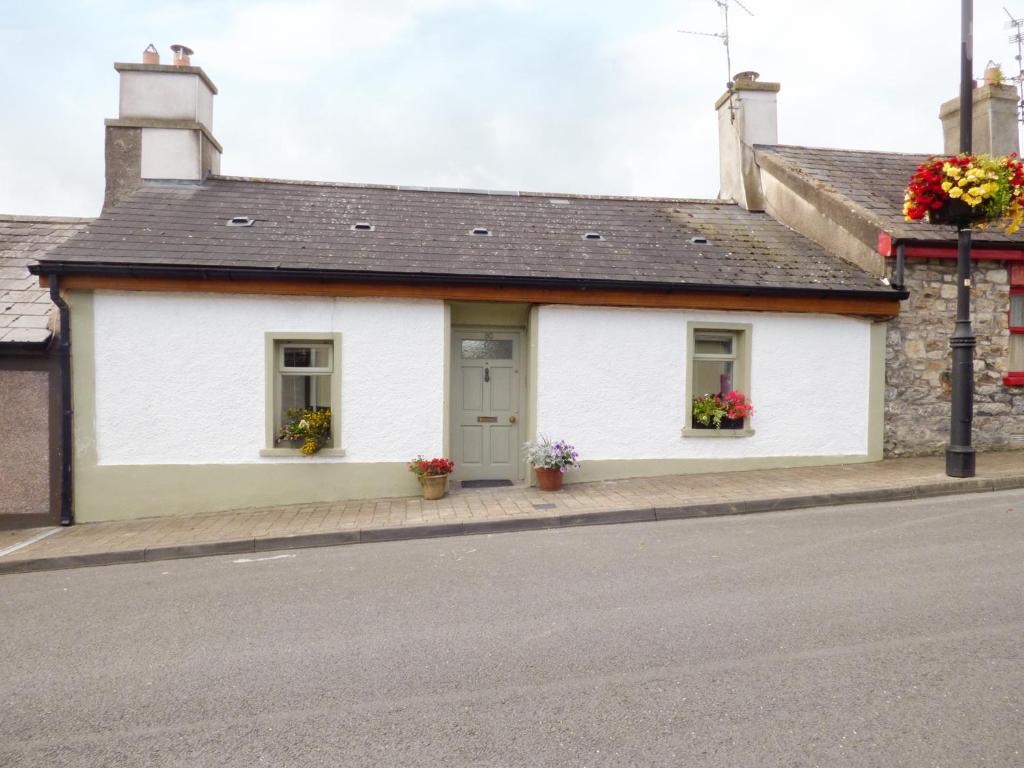 LismoreFairy fort / earthen ringfort · 783 yd
 Ballyfinnane Br.Bridge · 1.0 mi
 Site of CourtCastle, unclassified · 1.4 mi
 CastleCastle, ringwork · 1.5 mi
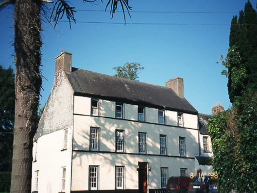 Castlefarmhouse · 1.5 mi
 Ballygamboon Forest Recreation AreaWood · 2.9 mi
 Common AlderCommon Alder · 3.9 mi
 Scotia's GraveArchaeological place · 4.5 mi
 PoulatouirtCave · 4.7 mi
 KnockmoyleMountain / peak · 4.7 mi
 Poulclashcannon (blocked)Cave · 4.8 mi