What is recorded here
On low ground near the base of a N facing slope of a low hill, with a stream c. 30m to the N. A spread of dark soil (c. 7m N-S x c.10m E-W) with limited amounts of burnt stone is visible after field has been ploughed.
Compiled by: Claire Breen and Chris Corlett
Date of upload: 16 November 2012
The monument record does not grant public access. Check the route and ask the landowner before entering private land.
- What survives
- Recorded monument
Places near here
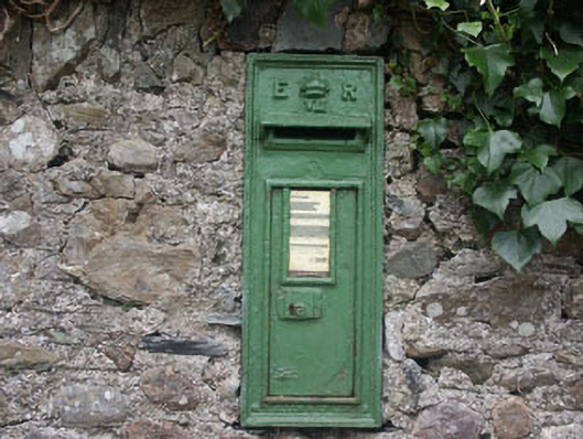 post boxpost box · 193 yd
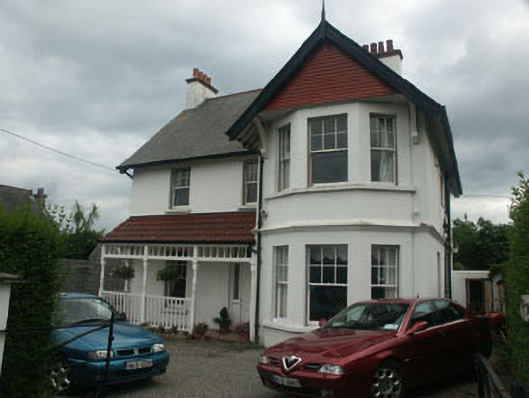 Epworthhouse · 272 yd
 Greystones South BeachBeach / strand · 748 yd
 Enclosure in Ballynerrin (newcastle By., Kilcoole Ed)Enclosure · 853 yd
 The CoveBeach / strand · 1404 yd
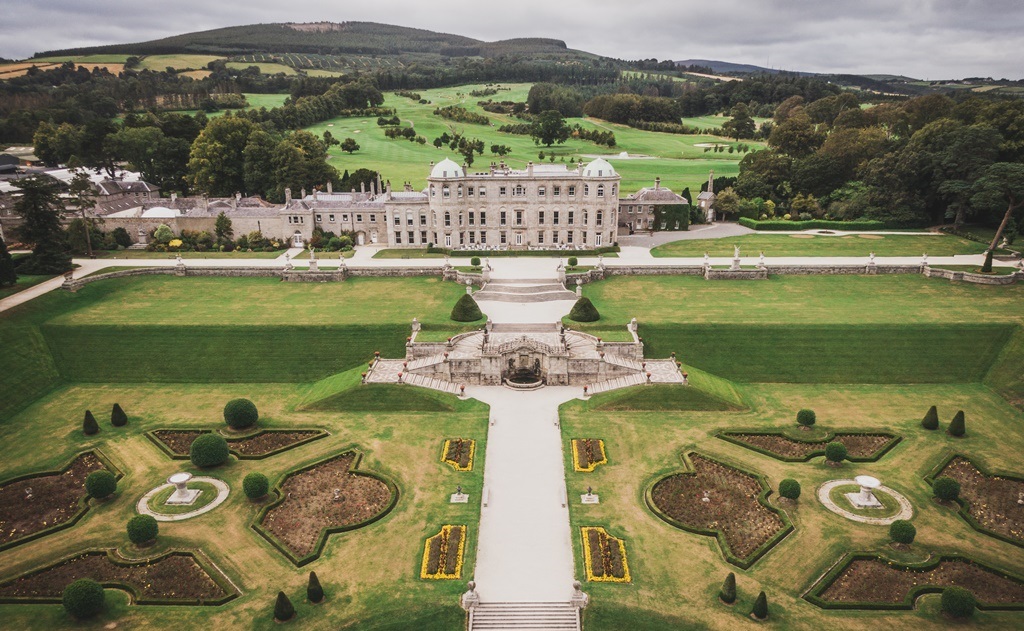 Enclosure in CharleslandEnclosure · 1467 yd
 TuliptreeTuliptree · 1.1 mi
 Kindlestown Castle (in ruins)Castle, hall-house · 1.1 mi
 Delgany Heritage TrailWalking route · 1.2 mi
 Rathdown Castle (in ruins)Castle, unclassified · 1.5 mi
 Glenroe FarmHeritage attraction · 1.6 mi
 Kindlestown WoodForest · 1.8 mi