What is recorded here
In tillage, on a terrace on a S-facing slope. A spread of dark-coloured soil was noted, from the foreshore c. 500m to the S, in 1996. This spread could not be located in 2002 as the field was under a high cereal crop.
The above description is derived from 'The Archaeological Inventory of County Cork. Volume 5' (Dublin: Stationery Office, 2009).
Date of upload: 22 December 2009
The monument record does not grant public access. Check the route and ask the landowner before entering private land.
- What survives
- Recorded monument
Places near here
 William Warren Baldwin plaqueMemorial · 456 yd
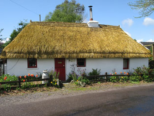 Rivendellhouse · 645 yd
 Curraghbinny WoodsForest · 735 yd
 The Giant's GraveMonument · 772 yd
 Loughbeg Bird ReserveNature reserve · 877 yd
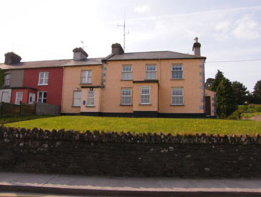 Crosshaven Garda Stationcoastguard station · 1055 yd
 Castle (Site of)Castle, unclassified · 1496 yd
 Crosshaven Tourist OfficeVisitor information · 1526 yd
 Slab-lined burial in HoddersfieldSlab-lined burial · 1557 yd
 Martello TowerMartello tower · 1.1 mi
 Castle (in Ruins)Castle, tower house · 1.3 mi
 Church Bay BeachBeach / strand · 1.7 mi